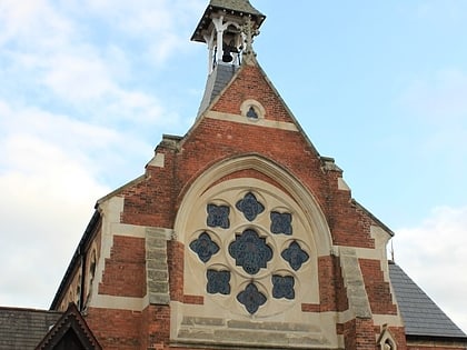
Shire Hall, Warwick
Map
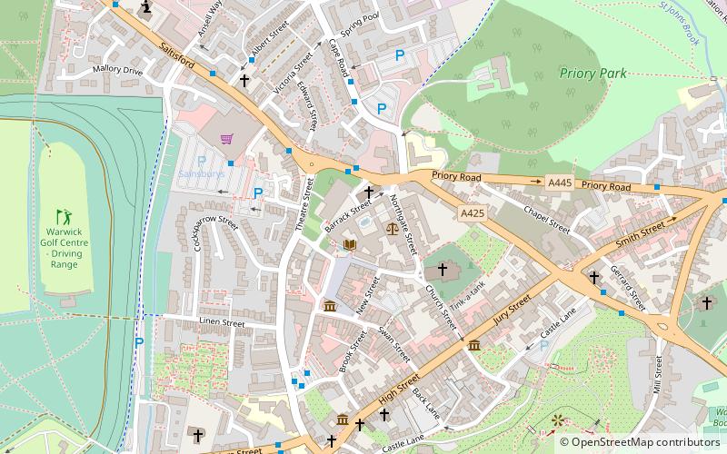
Map

Facts and practical information
Shire Hall is a building complex located in Northgate Street in Warwick, England. It is the main office and the meeting place of Warwickshire County Council. The complex is a Grade I listed building. ()
Built: 1758 (268 years ago)Coordinates: 52°16'58"N, 1°35'24"W
Address
Warwick
ContactAdd
Social media
Add
Day trips
Shire Hall – popular in the area (distance from the attraction)
Nearby attractions include: Warwick Castle, Warwick Racecourse, Collegiate Church of St Mary, The Mill Garden.
Frequently Asked Questions (FAQ)
Which popular attractions are close to Shire Hall?
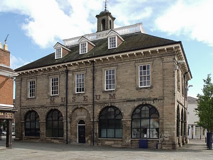
Nearby attractions include Market Square, Warwick (1 min walk), Market Hall Museum, Warwick (3 min walk), Collegiate Church of St Mary, Warwick (3 min walk), The Queen's Own Hussars Museum, Warwick (5 min walk).
How to get to Shire Hall by public transport?
The nearest stations to Shire Hall:
Bus
Train
Bus
- Warwick Bus Station (5 min walk)
- Primrose Hill • Lines: 1 (25 min walk)
Train
- Warwick (11 min walk)
- Warwick Parkway (25 min walk)


