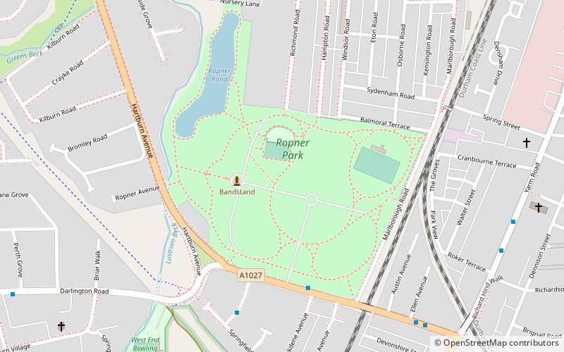
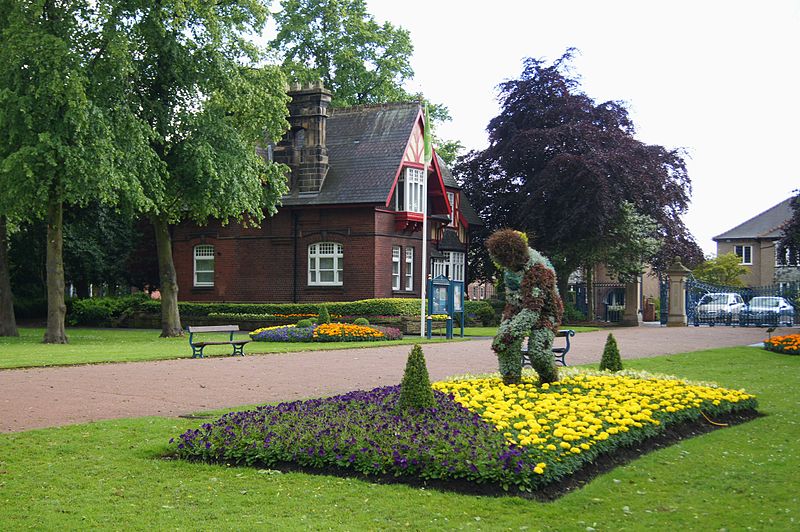
Ropner Park, Stockton-on-Tees

Gallery (2)
Map
Map
Gallery
Facts and practical information
Ropner Park is a free public park, located in Stockton-on-Tees, County Durham, England. ()
Elevation: 62 ft a.s.l.Coordinates: 54°33'27"N, 1°19'52"W
Address
Hartburn AvenueStockton-on-Tees
Contact
+44 1642 633767
Social media
Add
Getting there by public transportation
Public transportation stops near this location
- Bus
- Train
 Bus
Bus
- Calculate routeOxbridge Richmond Road 8 min walk
- Calculate routeGainford Road 17 min walk
- Calculate routeStockton 26 min walk
Day trips


Frequently Asked Questions (FAQ)
Which popular attractions are close to Ropner Park?
Nearby attractions include Trinity Green, Stockton-on-Tees (17 min walk), Surtees Rail Bridge, Stockton-on-Tees (22 min walk), Stockton-on-Tees Town Hall, Stockton-on-Tees (22 min walk), Surtees Bridge, Stockton-on-Tees (23 min walk).
How to get to Ropner Park by public transport?
The nearest stations to Ropner Park:
Bus
Train
Bus
- Oxbridge Richmond Road • Lines: X66 (8 min walk)
- Gainford Road • Lines: X66 (17 min walk)
Train
- Stockton (26 min walk)