Surtees Bridge, Stockton-on-Tees
Map
Gallery

Facts and practical information
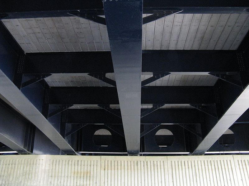
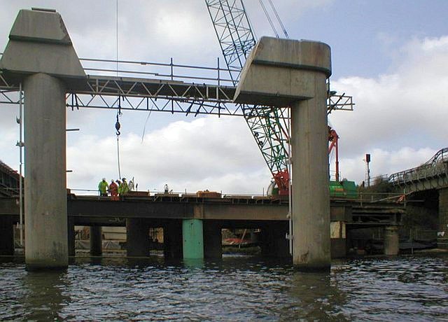
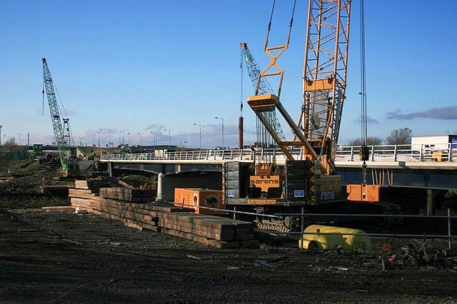
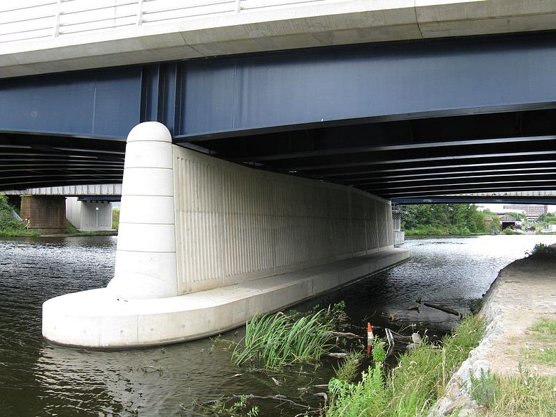
The Surtees Bridge is a road bridge carrying the A66 road east west across the River Tees near Thornaby-on-Tees in the borough of Stockton-on-Tees in the north east of England. The bridge is situated one kilometre upriver from Stockton town centre, just upriver of Surtees Rail Bridge – a rail bridge carrying the Tees Valley Line. Built at a cost of £14.3 million the bridge replaces an earlier Surtees Bridge that showed signs of distress resulting from excessive settlement. ()
Opened: 3 December 2007 (18 years ago)Length: 492 ftCoordinates: 54°33'16"N, 1°18'37"W
Address
Stockton-on-Tees
ContactAdd
Social media
Add
Day trips
Surtees Bridge – popular in the area (distance from the attraction)
Nearby attractions include: Tees Barrage International White Water Course, Stockton-on-Tees Town Hall, Infinity Bridge, Georgian Theatre.
Frequently Asked Questions (FAQ)
Which popular attractions are close to Surtees Bridge?
Nearby attractions include Surtees Rail Bridge, Stockton-on-Tees (1 min walk), Victoria Bridge, Stockton-on-Tees (8 min walk), Thornaby Town Hall, Stockton-on-Tees (11 min walk), Trinity Green, Stockton-on-Tees (12 min walk).
How to get to Surtees Bridge by public transport?
The nearest stations to Surtees Bridge:
Bus
Train
Bus
- Thornaby Road • Lines: 17A (7 min walk)
- Chandlers Wharf • Lines: 36, 37, 38, X66 (8 min walk)
Train
- Thornaby (13 min walk)
- Stockton (29 min walk)


