Fulneck Moravian Church, Leeds
Map

Gallery

Facts and practical information
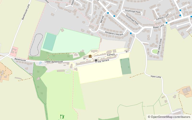
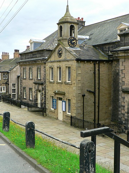
Fulneck Moravian Church and its associated settlement were established on the Fulneck estate, Pudsey, in the West Riding of Yorkshire, England, in 1744 by Count Nicolaus Ludwig von Zinzendorf, a Moravian Bishop and Lutheran priest, following a donation of land by the evangelical Anglican clergyman, Benjamin Ingham. Fulneck is now part of the City of Leeds, West Yorkshire. ()
Coordinates: 53°47'2"N, 1°39'52"W
Day trips
Fulneck Moravian Church – popular in the area (distance from the attraction)
Nearby attractions include: Pudsey Park, Pudsey Town Hall, Cockersdale, Pudsey.
Frequently Asked Questions (FAQ)
Which popular attractions are close to Fulneck Moravian Church?
Nearby attractions include Greenside Tunnel, Bradford (12 min walk), Pudsey Park, Leeds (18 min walk), Pudsey Town Hall, Bradford (23 min walk), Pudsey, Leeds (24 min walk).
How to get to Fulneck Moravian Church by public transport?
The nearest stations to Fulneck Moravian Church:
Bus
Bus
- Fartown Southroyd Rise • Lines: 4F (5 min walk)
- Roker Lane Oakdene Close • Lines: 4F (8 min walk)


