Cockersdale, Leeds
Map

Map

Facts and practical information
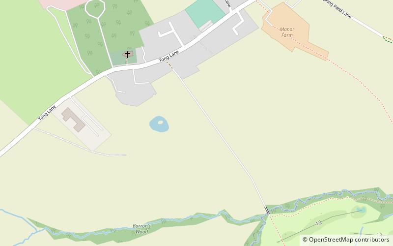
Cockersdale is a location near Tong, south-west of Leeds, West Yorkshire, England. The Leeds Country Way follows the valley known as Cockers Dale, along Tong Beck, from the A58 road northwards. The beck forms the boundary between the metropolitan districts of Leeds and Bradford for much of the valley, but the settlement identified on Ordnance Survey maps as Cockersdale is within Leeds. ()
Coordinates: 53°46'8"N, 1°39'58"W
Address
Bradford South (Tong)Leeds
ContactAdd
Social media
Add
Day trips
Cockersdale – popular in the area (distance from the attraction)
Nearby attractions include: Gotts Park Mansion, Brontë Way, Oakwell Hall, Pudsey Park.
Frequently Asked Questions (FAQ)
How to get to Cockersdale by public transport?
The nearest stations to Cockersdale:
Bus
Bus
- Roker Lane Oakdene Close • Lines: 4F (31 min walk)


