Davidson's Mains, Edinburgh
Map

Gallery

Facts and practical information
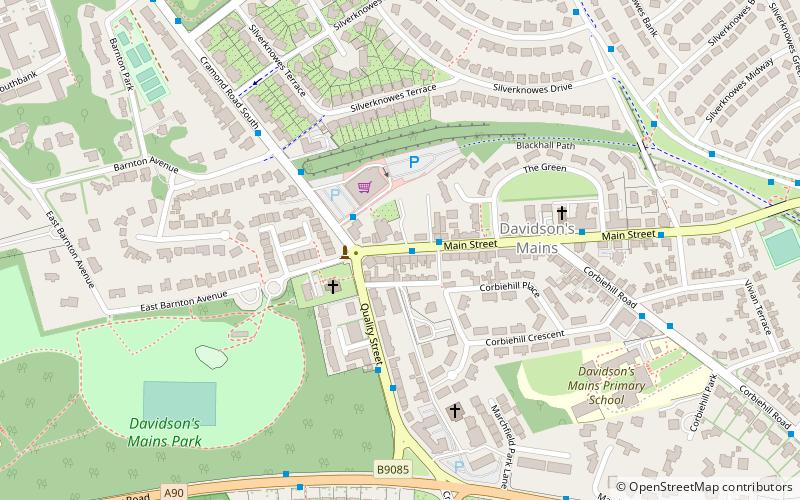
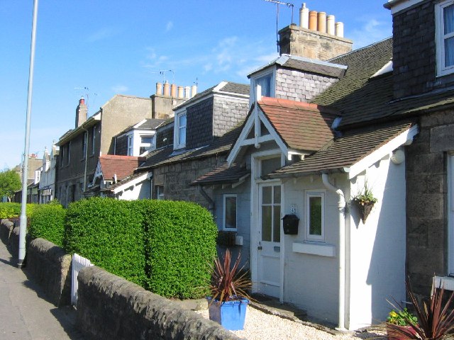
Davidson's Mains is a former village and now a district in the north-west of Edinburgh, Scotland. It is adjacent to the districts of Barnton, Cramond, Silverknowes, Blackhall and Corbiehill/House O'Hill. It was absorbed into Edinburgh as part of the boundary changes in 1920 and is part of the EH4 postcode area. ()
Coordinates: 55°57'55"N, 3°16'24"W
Address
Davidson's MainsEdinburgh
ContactAdd
Social media
Add
Day trips
Davidson's Mains – popular in the area (distance from the attraction)
Nearby attractions include: Lauriston Castle, Corstorphine Hill, Cramond Kirk, Craigcrook Castle.
Frequently Asked Questions (FAQ)
Which popular attractions are close to Davidson's Mains?
Nearby attractions include Barnton Quarry, Edinburgh (11 min walk), Lauriston Castle, Edinburgh (12 min walk), Muirhouse, Edinburgh (18 min walk), Clermiston, Edinburgh (19 min walk).
How to get to Davidson's Mains by public transport?
The nearest stations to Davidson's Mains:
Bus
Bus
- Main Street • Lines: 21, 41 (1 min walk)
- Quality Street • Lines: 21, 41 (3 min walk)


