Cramond Kirk, Edinburgh
Map

Map

Facts and practical information
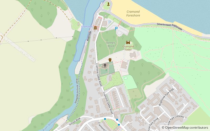
Cramond Kirk is a church situated in the middle area Cramond parish, in the north west of Edinburgh, Scotland. Built on the site of an old Roman fort, parts of the Cramond Kirk building date back to the fourteenth century and the church tower is considered to be the oldest part. ()
Coordinates: 55°58'40"N, 3°17'60"W
Address
CramondEdinburgh
Contact
+44 131 336 2036
Social media
Add
Day trips
Cramond Kirk – popular in the area (distance from the attraction)
Nearby attractions include: Lauriston Castle, Cramond Roman Fort, Cramond Tower, Cramond Island.
Frequently Asked Questions (FAQ)
Which popular attractions are close to Cramond Kirk?
Nearby attractions include Cramond Roman Fort, Edinburgh (1 min walk), Cramond Tower, Edinburgh (1 min walk), Cramond, Edinburgh (20 min walk).
How to get to Cramond Kirk by public transport?
The nearest stations to Cramond Kirk:
Bus
Bus
- Cramond Glebe Road • Lines: 41 (5 min walk)
- Gamekeeper's Road • Lines: 41 (9 min walk)


