Cocking Foundry, Sussex Downs AONB
Map

Gallery

Facts and practical information
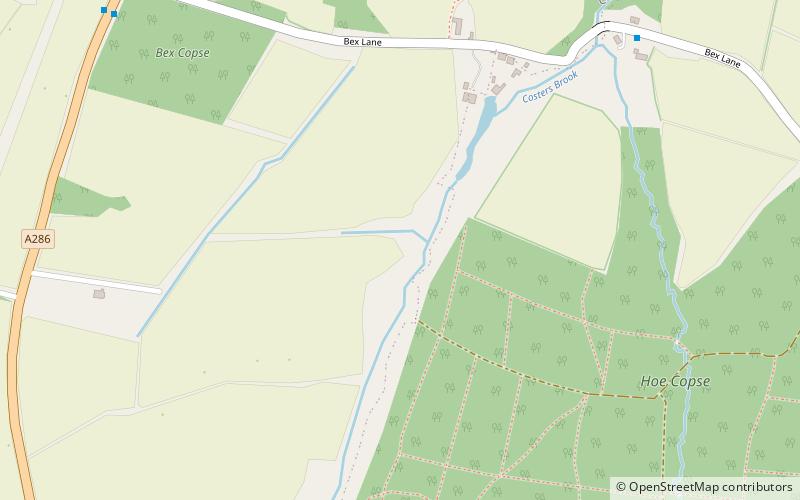
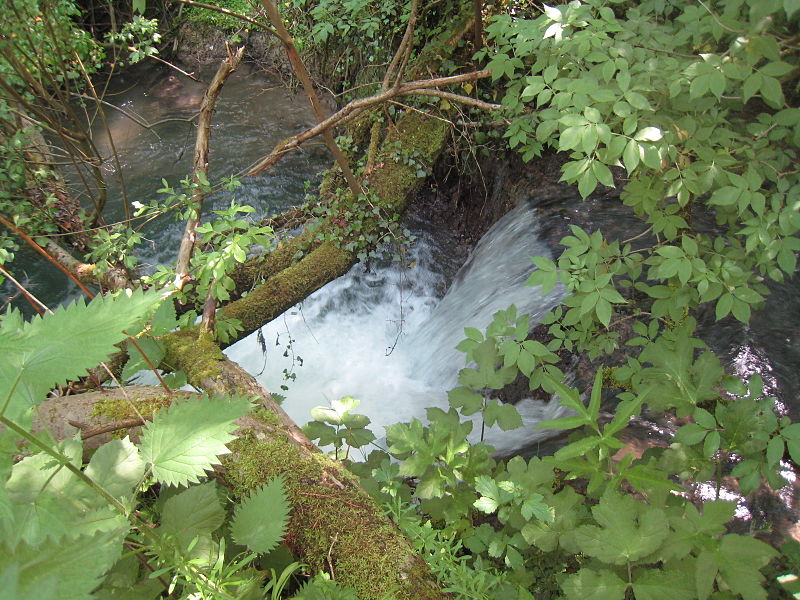
Cocking Foundry is an abandoned iron foundry in the South Downs of England. It was situated to the north of the village of Cocking, West Sussex and was active for most of the 19th century. The foundry's output included wheels for watermills, some of which remain in use. ()
Coordinates: 50°57'35"N, 0°44'36"W
Address
Sussex Downs AONB
ContactAdd
Social media
Add
Day trips
Cocking Foundry – popular in the area (distance from the attraction)
Nearby attractions include: Weald & Downland Living Museum, Cowdray Castle, Weald and Downland Gridshell, Iping and Stedham Commons.
Frequently Asked Questions (FAQ)
How to get to Cocking Foundry by public transport?
The nearest stations to Cocking Foundry:
Bus
Bus
- Heyshott Turning • Lines: 60 (9 min walk)
- The Croft • Lines: 60 (14 min walk)


