South Downs, South Downs National Park
Map
Gallery

Facts and practical information
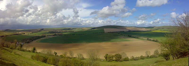
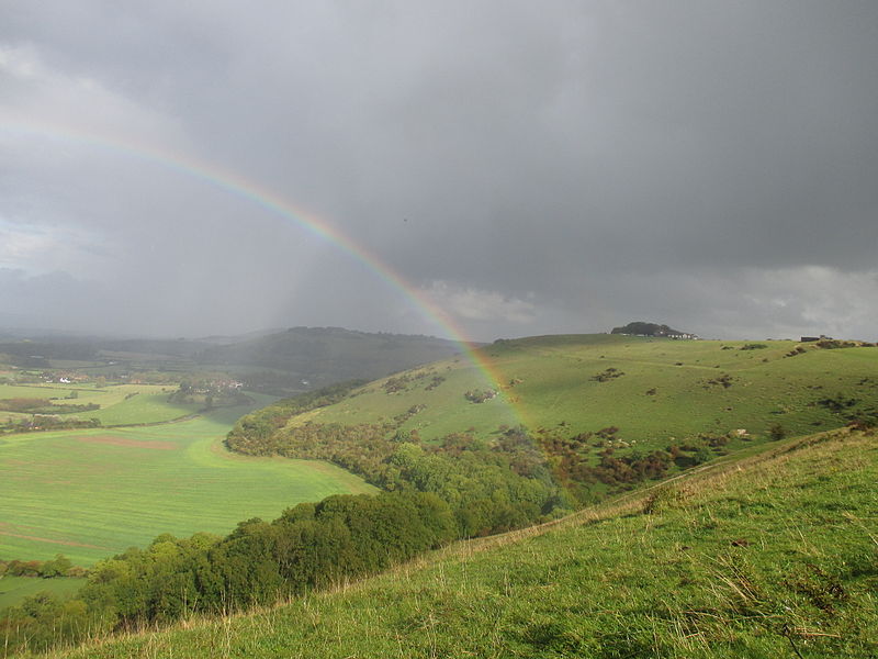
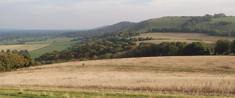
The South Downs are a range of chalk hills that extends for about 260 square miles across the south-eastern coastal counties of England from the Itchen valley of Hampshire in the west to Beachy Head, in the Eastbourne Downland Estate, East Sussex, in the east. The Downs are bounded on the northern side by a steep escarpment, from whose crest there are extensive views northwards across the Weald. The South Downs National Park forms a much larger area than the chalk range of the South Downs and includes large parts of the Weald. ()
Day trips
South Downs – popular in the area (distance from the attraction)
Nearby attractions include: Buriton Chalk Pit, Butser Hill, Oxenbourne Down, Queen Elizabeth Country Park.
Frequently Asked Questions (FAQ)
Which popular attractions are close to South Downs?
Nearby attractions include Butser Hill, South Downs National Park (2 min walk), War Down, South Downs National Park (18 min walk), Queen Elizabeth Country Park, South Downs National Park (18 min walk), Oxenbourne Down, Petersfield (22 min walk).


