Arenig Fawr South Top, Snowdonia National Park
Map

Map

Facts and practical information
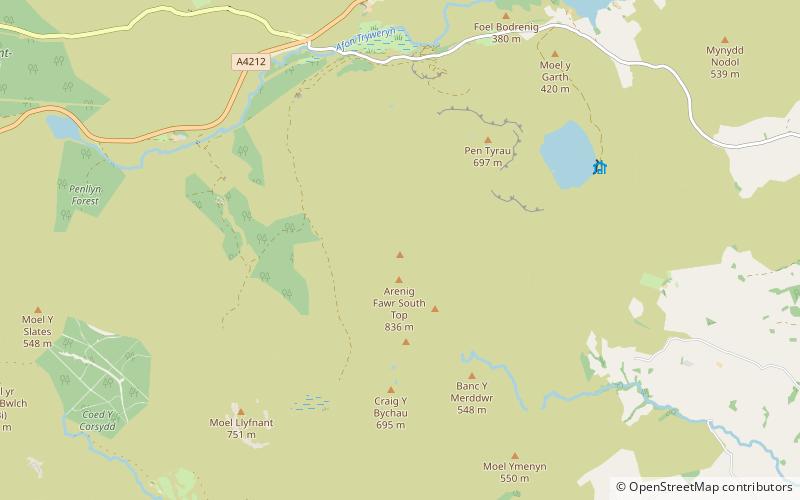
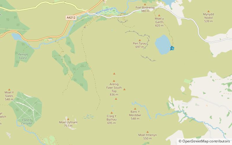
Arenig Fawr South Top is the twin top of Arenig Fawr in southern Snowdonia, North Wales. It is the second highest member of the Arenig range, being 18 m less than its twin. From here the south ridge continues into an area of rocky knolls and small tarns, where Arenig Fawr South Ridge Top can be found. ()
Elevation: 2740 ftProminence: 69 ftCoordinates: 52°55'3"N, 3°44'46"W
Address
Snowdonia National Park
ContactAdd
Social media
Add
Day trips
Arenig Fawr South Top – popular in the area (distance from the attraction)
Nearby attractions include: Arenig Fawr, Llyn Arenig Fawr, Moel Llyfnant, Arenigs.
Frequently Asked Questions (FAQ)
Which popular attractions are close to Arenig Fawr South Top?
Nearby attractions include Arenig Fawr South Ridge Top, Snowdonia National Park (1 min walk), Foel Boeth, Snowdonia National Park (1 min walk), Gallt y Daren, Snowdonia National Park (1 min walk), Arenig Fawr, Snowdonia National Park (1 min walk).


