Moel Llyfnant, Snowdonia National Park
Map

Map

Facts and practical information
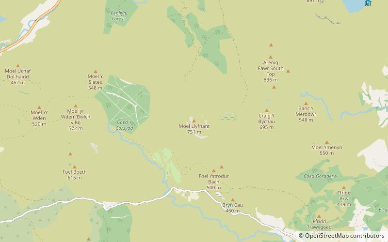
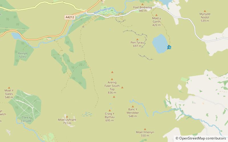
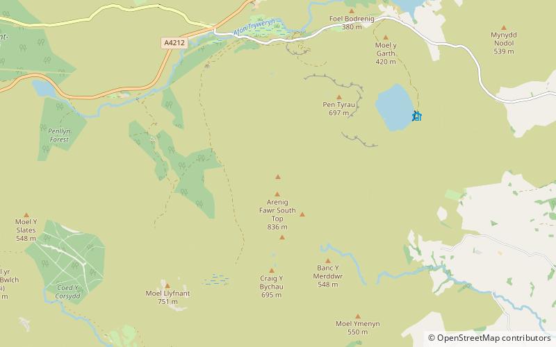
Moel Llyfnant is a mountain in the southern portion of the Snowdonia National Park in Gwynedd, Wales. It is a peak in the Arenig mountain range. It lies to the west of Arenig Fawr. It has one notable top, the twin peaked Gallt y Daren, being at the end of its west ridge. ()
Elevation: 2464 ftProminence: 676 ftCoordinates: 52°54'3"N, 3°46'24"W
Address
Snowdonia National Park
ContactAdd
Social media
Add
Day trips
Moel Llyfnant – popular in the area (distance from the attraction)
Nearby attractions include: Arenig Fawr, Arenigs, Gallt y Daren, Arenig Fawr South Ridge Top.


