Rawdon Billing, Leeds

Gallery (4)
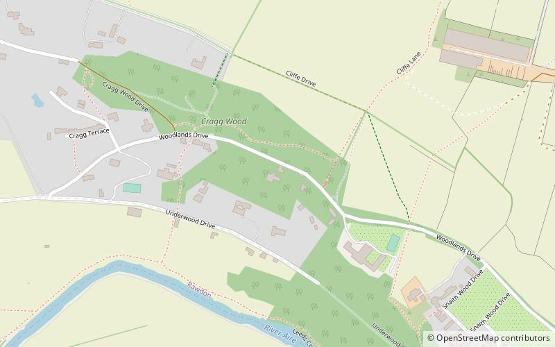
Map

Map
Gallery
Facts and practical information
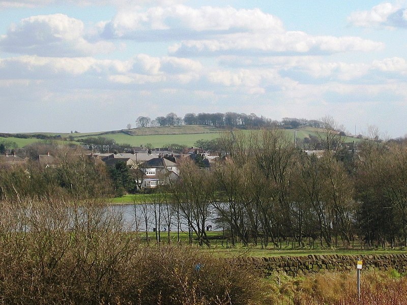
Rawdon Billing, sometimes referred to as Billing Hill, is a tree-topped hill situated in Rawdon, West Yorkshire, England. Reaching an elevation of 231 metres, it is a significant landmark in the Aireborough area. ()
Coordinates: 53°51'14"N, 1°40'16"W
Address
Aireborough (Rawdon)Leeds
ContactAdd
Social media
Add
Getting there by public transportation
Public transportation stops near this location
- Bus
 Bus
Bus
- Calculate routeCanada Road Larkfield Crescent 7 min walk
- Calculate routeTown Street Intake Lane 7 min walk
- Calculate routeLarkfield Road 8 min walk
Day trips


Frequently Asked Questions (FAQ)
How to get to Rawdon Billing by public transport?
The nearest stations to Rawdon Billing:
Bus
Bus
- Canada Road Larkfield Crescent • Lines: 27 (7 min walk)
- Town Street Intake Lane • Lines: 27 (7 min walk)