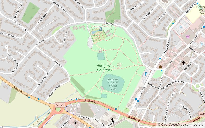
Horsforth Hall Park, Leeds
Map

Map

Facts and practical information
Horsforth Hall Park is a large community park in Horsforth, West Yorkshire, England, approximately six miles from Leeds city centre. ()
Elevation: 367 ft a.s.l.Coordinates: 53°50'13"N, 1°38'52"W
Day trips
Horsforth Hall Park – popular in the area (distance from the attraction)
Nearby attractions include: Rawdon Billing, Horsforth, Rodley Nature Reserve, Grove Methodist Church.
Frequently Asked Questions (FAQ)
Which popular attractions are close to Horsforth Hall Park?
Nearby attractions include Grove Methodist Church, Leeds (8 min walk), Horsforth, Leeds (13 min walk).
How to get to Horsforth Hall Park by public transport?
The nearest stations to Horsforth Hall Park:
Bus
Train
Bus
- The Green Town Street • Lines: 50, 9 (6 min walk)
- Horsforth Fleece Hotel • Lines: 33, 34, A1 (7 min walk)
Train
- Horsforth (27 min walk)
- Kirkstall Forge (30 min walk)


