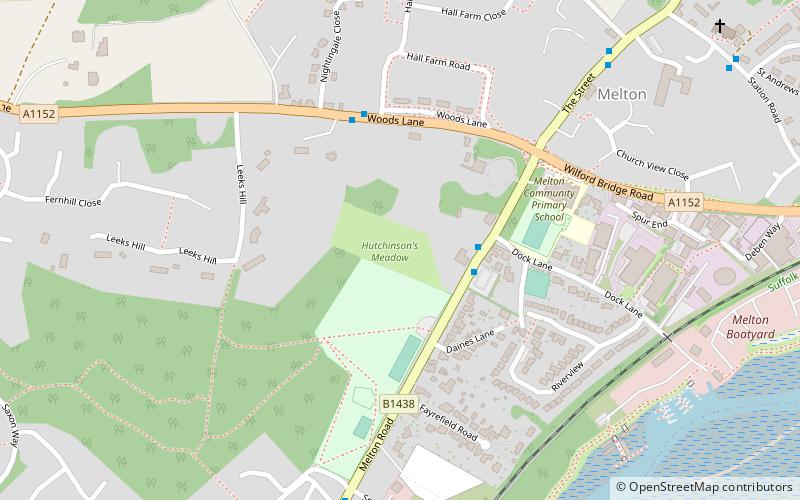
Hutchison's Meadow, Woodbridge
Map

Map

Facts and practical information
Hutchison's Meadow is a one hectare nature reserve in Melton in Suffolk. It is owned and managed by the Suffolk Wildlife Trust. ()
Elevation: 39 ft a.s.l.Coordinates: 52°6'13"N, 1°19'37"E
Address
Woodbridge
ContactAdd
Social media
Add
Day trips
Hutchison's Meadow – popular in the area (distance from the attraction)
Nearby attractions include: Woodbridge Tide Mill, Sutton Hoo Helmet, Church of St Thomas of Canterbury, Woodbridge Railway Station.
Frequently Asked Questions (FAQ)
Which popular attractions are close to Hutchison's Meadow?
Nearby attractions include Church of St Thomas of Canterbury, Woodbridge (19 min walk), Wuffing Education Study Centre At Sutton Hoo, Woodbridge (23 min walk), Sutton Hoo Helmet, Woodbridge (23 min walk).
How to get to Hutchison's Meadow by public transport?
The nearest stations to Hutchison's Meadow:
Bus
Train
Bus
- Hall Farm Road • Lines: 64 (4 min walk)
- Chapel • Lines: 64 (7 min walk)
Train
- Melton (13 min walk)
- Woodbridge (26 min walk)


