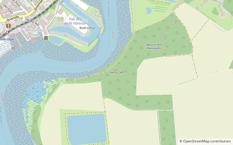
Ferry Cliff, Woodbridge
Map

Map

Facts and practical information
Ferry Cliff, Sutton is a 2.8 hectare geological Site of Special Scientific Interest Suffolk. It is a Geological Conservation Review site, and it is in the Suffolk Coast and Heaths Area of Outstanding Natural Beauty. ()
Coordinates: 52°5'19"N, 1°19'34"E
Address
Woodbridge
ContactAdd
Social media
Add
Day trips
Ferry Cliff – popular in the area (distance from the attraction)
Nearby attractions include: Woodbridge Tide Mill, Sutton Hoo Helmet, Church of St Thomas of Canterbury, Woodbridge Railway Station.
Frequently Asked Questions (FAQ)
Which popular attractions are close to Ferry Cliff?
Nearby attractions include Woodbridge Tide Mill, Woodbridge (7 min walk), Woodbridge Railway Station, Woodbridge (7 min walk), Church of St Thomas of Canterbury, Woodbridge (14 min walk), Tricker's Mill, Woodbridge (18 min walk).
How to get to Ferry Cliff by public transport?
The nearest stations to Ferry Cliff:
Train
Bus
Train
- Woodbridge (10 min walk)
- Melton (31 min walk)
Bus
- Turban Centre • Lines: 64, 65, 70, 73 (10 min walk)
- Deben Pool • Lines: 64, 73 (12 min walk)


