Ribble Valley, Clitheroe
Map
Facts and practical information
Ribble Valley is a local government district with borough status within the non-metropolitan county of Lancashire, England. The total population of the non-metropolitan district at the 2011 Census was 57,132. Its council is based in Clitheroe. Other places include Whalley, Longridge and Ribchester. The area is so called due to the River Ribble which flows in its final stages towards its estuary near Preston. The area is popular with tourists who enjoy the area's natural unspoilt beauty, much of which lies within the Forest of Bowland. ()
Getting there by public transportation
Public transportation stops near this location
- Bus
- Train
 Bus
Bus
- Calculate routeCastle Gate 1 min walk
- Calculate routePendle Club 3 min walk
- Calculate routeLowergate 3 min walk
- Calculate routeKing Lane 3 min walk
- Calculate routeClitheroe 6 min walk
Day trips


Frequently Asked Questions (FAQ)
Which popular attractions are close to Ribble Valley?
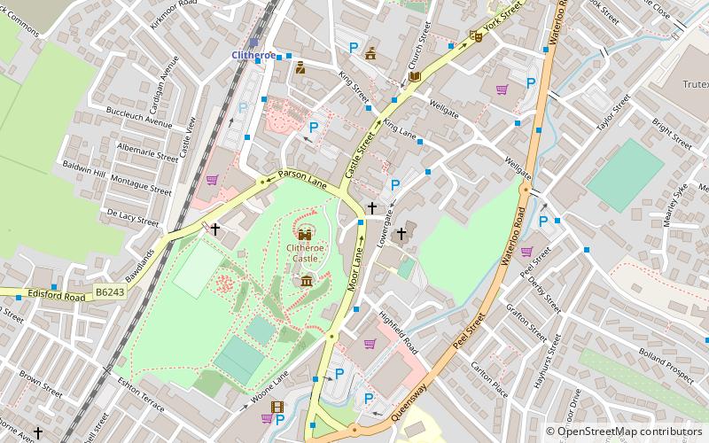
Nearby attractions include St Michael and St John Church, Clitheroe (2 min walk), Clitheroe Castle Museum, Clitheroe (2 min walk), Clitheroe Castle, Clitheroe (2 min walk), Platform Gallery, Clitheroe (4 min walk).
How to get to Ribble Valley by public transport?
The nearest stations to Ribble Valley:
Bus
Train
Bus
- Castle Gate • Lines: M2 (1 min walk)
- Pendle Club • Lines: M2 (3 min walk)
Train
- Clitheroe (6 min walk)