Low Moor, Clitheroe
Map

Map

Facts and practical information
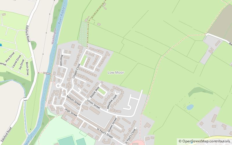
Low Moor is a hamlet which is part of the town of Clitheroe, located in Lancashire, England. It is situated two miles southwest of Clitheroe proper. It is significant for being a well documented mill village. ()
Coordinates: 53°52'22"N, 2°24'33"W
Address
Clitheroe
ContactAdd
Social media
Add
Day trips
Low Moor – popular in the area (distance from the attraction)
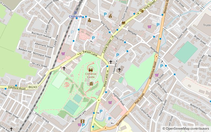
Nearby attractions include: Clitheroe Castle, Swan Court Shopping Arcade, St Michael and St John Church, Clitheroe Castle Museum.
Frequently Asked Questions (FAQ)
Which popular attractions are close to Low Moor?
Nearby attractions include Platform Gallery, Clitheroe (16 min walk), Clitheroe Castle, Clitheroe (18 min walk), Clitheroe Castle Museum, Clitheroe (18 min walk), Ribble Valley, Clitheroe (19 min walk).
How to get to Low Moor by public transport?
The nearest stations to Low Moor:
Train
Bus
Train
- Clitheroe (16 min walk)
Bus
- Station Road • Lines: M2 (16 min walk)
- Clitheroe Interchange • Lines: 64, 64 (School AM & PM), M2 (17 min walk)


