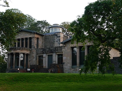
St Margaret's, Glasgow
Map
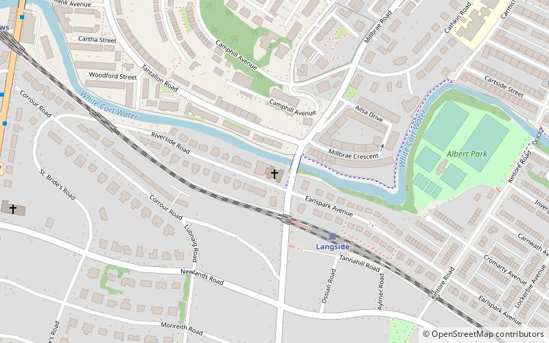
Map

Facts and practical information
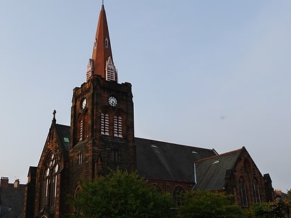
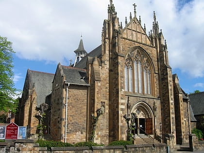
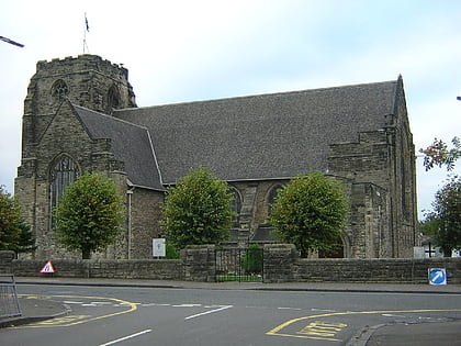
St Margaret's Church is a Category B listed church of the Scottish Episcopal Church at 355 Kilmarnock Road, Newlands, Glasgow, Scotland. ()
Completed: 1935 (91 years ago)Coordinates: 55°49'20"N, 4°16'41"W
Day trips
St Margaret's – popular in the area (distance from the attraction)
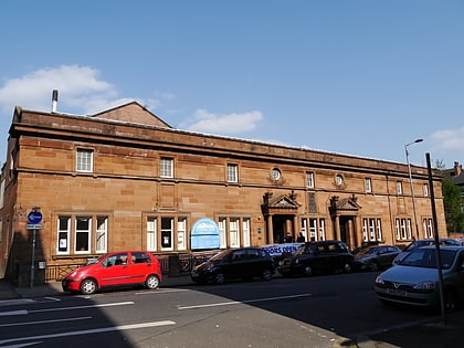
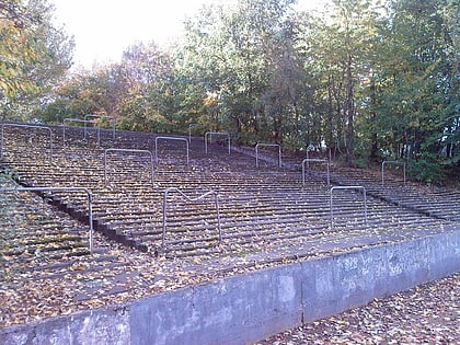
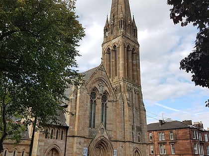
Nearby attractions include: Hampden Park, Govanhill Baths, Cathkin Park, Camphill Queen's Park Baptist Church.
Frequently Asked Questions (FAQ)
Which popular attractions are close to St Margaret's?
Nearby attractions include Millbrae Crescent, Glasgow (3 min walk), Battlefield, Glasgow (13 min walk), Shawlands, Glasgow (14 min walk), Pollokshaws, Glasgow (17 min walk).
How to get to St Margaret's by public transport?
The nearest stations to St Margaret's:
Train
Bus
Train
- Langside (3 min walk)
- Pollokshaws East (11 min walk)
Bus
- Kilmarnock Road / Auldhouse Road • Lines: 3, 38, 38A (9 min walk)
- Kilmarnock Road / Newlands Road • Lines: 38, 38A (10 min walk)
