St John's Church, Manchester
Map

Map

Facts and practical information
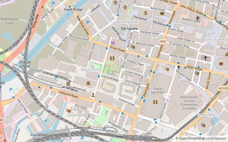
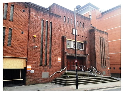
St John's Church, Manchester, also known as St John's, Deansgate, was an Anglican parish church in Manchester, England, established in 1769 and demolished in 1931. Its site is now that of St John's Gardens, situated between Lower Byrom Street, Byrom Street and Quay Street. ()
Architectural style: Gothic revivalCoordinates: 53°28'40"N, 2°15'10"W
Address
City CentreManchester
ContactAdd
Social media
Add
Day trips
St John's Church – popular in the area (distance from the attraction)
Nearby attractions include: Deansgate, Museum of Science and Industry, The Briton's Protection, Quay Street.
Frequently Asked Questions (FAQ)
Which popular attractions are close to St John's Church?
Nearby attractions include St John's Gardens, Manchester (1 min walk), Quay Street, Manchester (2 min walk), Manchester Opera House, Manchester (3 min walk), Sunlight House, Manchester (3 min walk).
How to get to St John's Church by public transport?
The nearest stations to St John's Church:
Bus
Tram
Train
Bus
- Lower Byrom Street/Quay Street • Lines: 2 (peak) (2 min walk)
- Quay Street/Deansgate • Lines: 2, 2 (peak) (3 min walk)
Tram
- Deansgate-Castlefield • Lines: Airp, Altr, Asht, Bury, Dean, Eccl, EDid, Mcuk, Picc, Roch, Shaw, Vict (6 min walk)
- St. Peter's Square • Lines: Airp, Altr, Asht, Bury, Eccl, EDid, Mcuk, Picc, Roch, Shaw, Vict (11 min walk)
Train
- Deansgate (7 min walk)
- Salford Central (10 min walk)

 Metrolink
 Metrolink / Rail


