Ordsall Chord, Manchester
Map
Facts and practical information
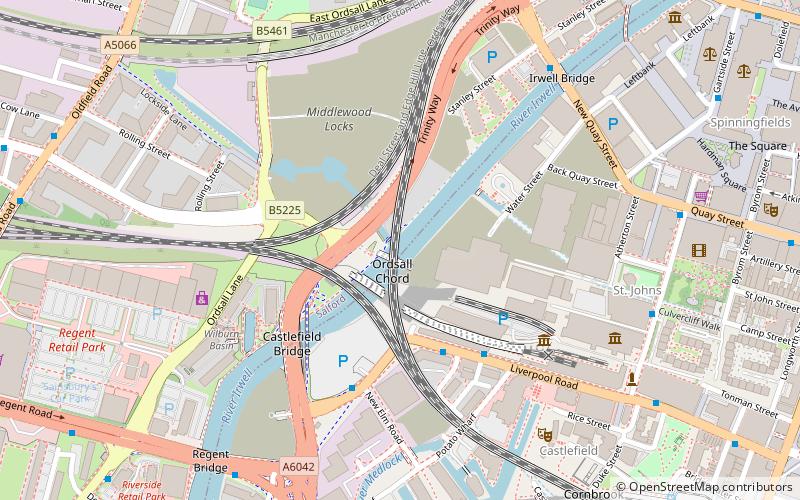
Ordsall Chord, also known as the Castlefield Curve, is a short railway line in Ordsall, Salford, England, which links Manchester Piccadilly and Manchester Oxford Road to Manchester Victoria, designed to increase capacity and reduce journey times into and through Manchester. It allows trains to run from Leeds, Newcastle and Redcar Central direct to Manchester Airport and stations on the main line to London Euston. ()
Coordinates: 53°28'42"N, 2°15'34"W
Address
Salford (Ordsall)Manchester
ContactAdd
Social media
Add
Getting there by public transportation
Public transportation stops near this location
- Bus
- Tram
- Train
 Bus
Bus
- Calculate routeLiverpool Road/Science Museum 3 min walk
- Calculate routeWater Street/New Elm Road 4 min walk
- Calculate routeNew Quay Street/Irwell Bridge 6 min walk
- Calculate routeRegent Road/Regent Bridge 7 min walk
- Calculate routeSalford Central 9 min walk
- Calculate routeDeansgate 12 min walk
- Calculate routeManchester Oxford Road 20 min walk
- Calculate routeSalford Crescent 23 min walk
- Calculate routeDeansgate-Castlefield 12 min walk
- Calculate routeCornbrook 17 min walk
- Calculate routeSt. Peter's Square 17 min walk
- Calculate routeExchange Square 21 min walk
Maps MetrolinkMaps
 Metrolink / Rail
MetrolinkMapsMetrolink / RailDay trips


Frequently Asked Questions (FAQ)
Which popular attractions are close to Ordsall Chord?
Nearby attractions include River Irwell Railway bridge, Manchester (2 min walk), The Factory, Manchester (3 min walk), Museum of Science and Industry, Manchester (5 min walk), Granada Studios, Manchester (5 min walk).
How to get to Ordsall Chord by public transport?
The nearest stations to Ordsall Chord:
Bus
Train
Tram
Bus
- Liverpool Road/Science Museum • Lines: 33, 33B (3 min walk)
- Water Street/New Elm Road • Lines: 33B (4 min walk)
Train
- Salford Central (9 min walk)
- Deansgate (12 min walk)
Tram
- Deansgate-Castlefield • Lines: Airp, Altr, Asht, Bury, Dean, Eccl, EDid, Mcuk, Picc, Roch, Shaw, Vict (12 min walk)
- Cornbrook • Lines: Airp, Altr, Asht, Bury, Corn, Dean, Eccl, EDid, Mcuk, Picc, Roch, Shaw, TrfC, Vict (17 min walk)