Castletown
Map

Map

Facts and practical information
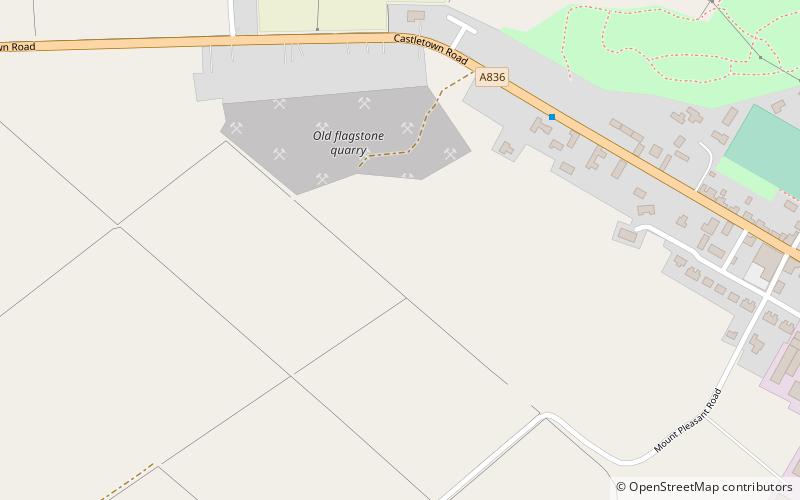
Castletown is a village on the north coast of the Highland council area of Scotland, situated near Dunnet Bay. It is within the civil parish of Olrig, where it is the main settlement, and within the historic county of Caithness. The A836 links the village with Thurso and Tongue in the west and with John o' Groats in the east. The B876-A99 links the village with Wick in the southeast. Contrary to the common misconception, the name Castletown is a misnomer as there is no castle within the village limits. ()
Location
Scotland
ContactAdd
Social media
Add
Day trips
Castletown – popular in the area (distance from the attraction)
Nearby attractions include: Dunnet Head, Old St Peter's Church, Thurso Castle, Braal Castle.


