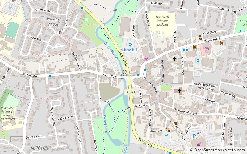
Nantwich Bridge, Nantwich
Map

Map

Facts and practical information
Nantwich Bridge is a stone bridge carrying Welsh Row over the River Weaver in the town of Nantwich, Cheshire, England. The existing bridge replaces a 17th-century stone bridge; it dates from 1803 and is listed at grade II. An earlier timber bridge known as the Wich Bridge is first mentioned at the end of the 14th century; it is described as having a chapel and shops on it. ()
Coordinates: 53°4'3"N, 2°31'28"W
Address
Nantwich
ContactAdd
Social media
Add
Day trips
Nantwich Bridge – popular in the area (distance from the attraction)
Nearby attractions include: 46 High Street, Nantwich Museum, St Mary's Church, Dorfold Hall.
Frequently Asked Questions (FAQ)
Which popular attractions are close to Nantwich Bridge?
Nearby attractions include Nantwich Castle, Nantwich (2 min walk), 9 Mill Street, Nantwich (3 min walk), 1–3 Churchyard Side, Nantwich (4 min walk), St Mary's Church, Nantwich (5 min walk).
How to get to Nantwich Bridge by public transport?
The nearest stations to Nantwich Bridge:
Train
Train
- Nantwich (10 min walk)


