Victoria Park, Glasgow
Map
Gallery
Facts and practical information
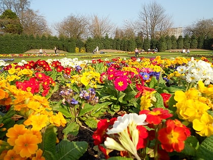
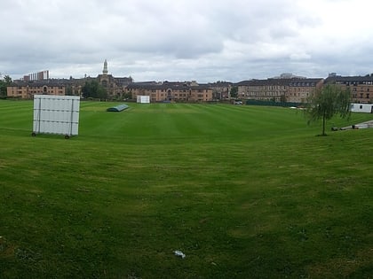
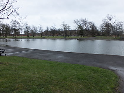
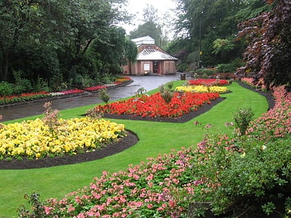
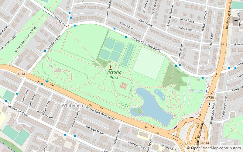
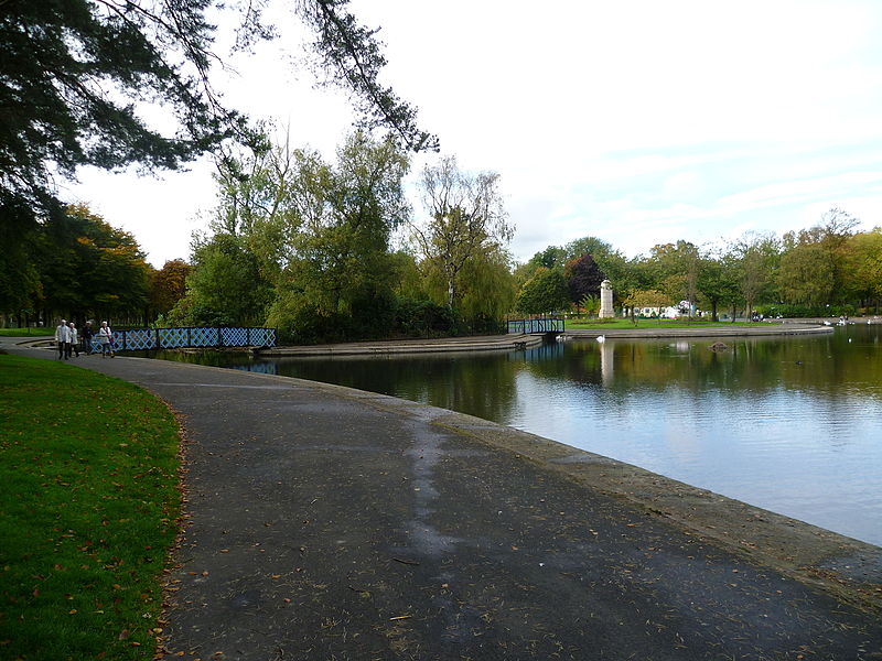
Victoria Park is a 20-hectare park located in the west of Glasgow, Scotland, adjacent to the districts of Scotstoun, Whiteinch, Jordanhill and Broomhill. The park was created and named for Queen Victoria's jubilee in 1887. The main entrances to the park are from Westland Drive, Victoria Park Drive North, and Balshagray Avenue. The Friends of Victoria Park is a West Glasgow group set up to protect and develop Victoria Park. ()
Opened: 2 July 1887 (138 years ago)Elevation: 36 ft a.s.l.Coordinates: 55°52'35"N, 4°20'1"W
Day trips
Victoria Park – popular in the area (distance from the attraction)
Nearby attractions include: Braehead, Braehead Arena, Hamilton Crescent, Elder Park.
Frequently Asked Questions (FAQ)
Which popular attractions are close to Victoria Park?
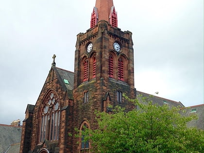
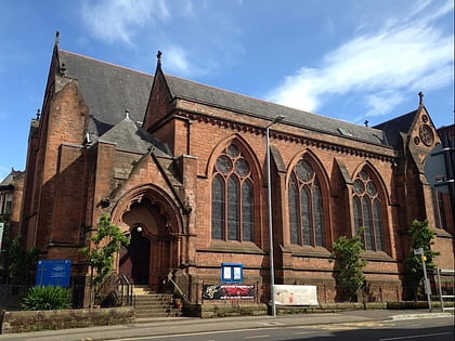
Nearby attractions include Fossil Grove, Glasgow (5 min walk), Broomhill Parish Church, Glasgow (14 min walk), Balshagray Victoria Park Church, Glasgow (14 min walk), Scotstoun Parish Church, Glasgow (14 min walk).
How to get to Victoria Park by public transport?
The nearest stations to Victoria Park:
Bus
Train
Metro
Bus
- Victoria Park • Lines: 1C (6 min walk)
- Whiteinch, Dumbarton Road/ Haldane Street • Lines: 2 (6 min walk)
Train
- Jordanhill (15 min walk)
- Hyndland (20 min walk)
Metro
- Partick • Lines: Subway (28 min walk)
- Govan • Lines: Subway (34 min walk)
