East Wykeham, Lincolnshire Gate

Gallery (2)
Map
Map
Gallery
Facts and practical information
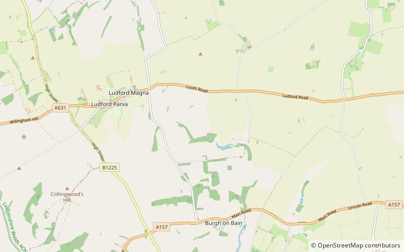
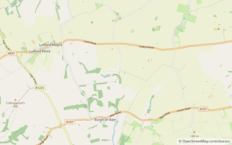
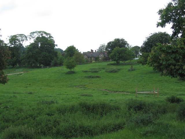
East Wykeham is a deserted medieval village or DMV, seen as earthworks, in the East Lindsey district of Lincolnshire, England. The earthworks are situated about 7 miles north-west of the town of Louth, and 9 miles east of the town of Market Rasen. ()
Coordinates: 53°22'35"N, 0°9'30"W
Address
Lincolnshire Gate
ContactAdd
Social media
Add
Day trips