Biscathorpe, Lincolnshire Gate

Gallery (1)
Map
Map
Facts and practical information
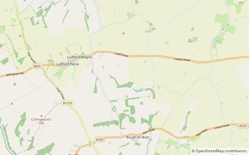
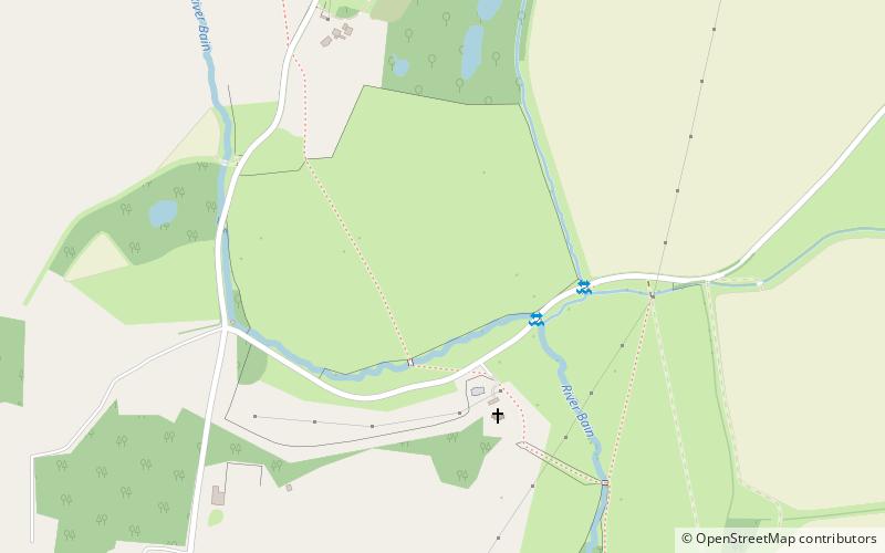
Biscathorpe is an ecclesiastical parish and site of Biscathorpe medieval village. It lies in the East Lindsey district of Lincolnshire, England, on the River Bain, 1 mile south-west of Gayton le Wold, 6.5 miles west of Louth, and to the south of the A157. It is a Conservation Area managed by DEFRA, and is traversed by the Viking Way. ()
Coordinates: 53°20'53"N, 0°9'18"W
Address
Lincolnshire Gate
ContactAdd
Social media
Add
Day trips