Aire and Calder Navigation, Leeds


Facts and practical information
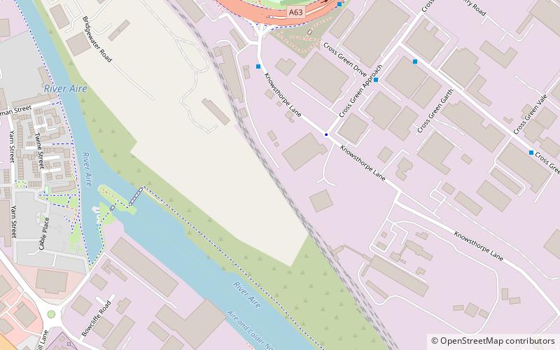
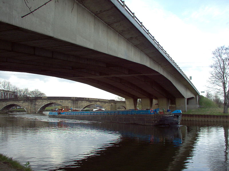
The Aire and Calder Navigation is the canalised section of the Rivers Aire and Calder in West Yorkshire, England. The first improvements to the rivers above Knottingley were completed in 1704 when the Aire was made navigable to Leeds and the Calder to Wakefield, by the construction of 16 locks. Lock sizes were increased several times, as was the depth of water, to enable larger boats to use the system. The Aire below Haddlesey was bypassed by the opening of the Selby Canal in 1778. A canal from Knottingley to the new docks and new town at Goole provided a much shorter route to the River Ouse from 1826. The New Junction Canal was constructed in 1905, to link the system to the River Don Navigation, by then part of the Sheffield and South Yorkshire Navigation. ()
Richmond Hill (Cross Green)Leeds
Aire and Calder Navigation – popular in the area (distance from the attraction)
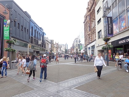
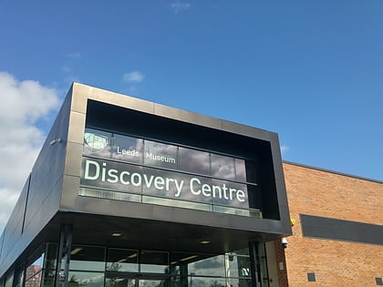
Nearby attractions include: Briggate, Leeds Corn Exchange, Leeds Kirkgate Market, The Tetley.
Frequently Asked Questions (FAQ)
Which popular attractions are close to Aire and Calder Navigation?
How to get to Aire and Calder Navigation by public transport?
Bus
- Low Road Severn Road • Lines: 110, 444, 446 (10 min walk)
Ferry
- Leeds Water Taxi Dock • Lines: Leeds Dock Water Taxi (23 min walk)
Train
- Moor Road (29 min walk)


