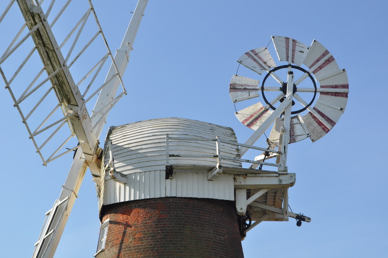
Stracey Arms Windpump, Norfolk Broads

Gallery (2)
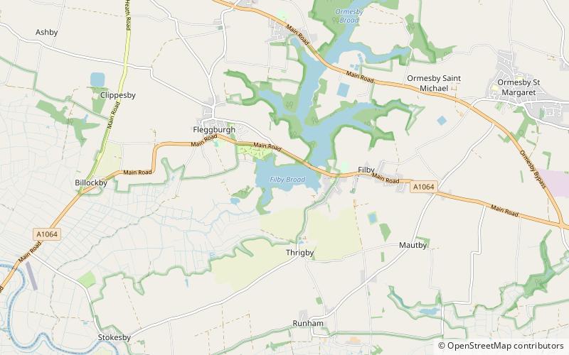
Map
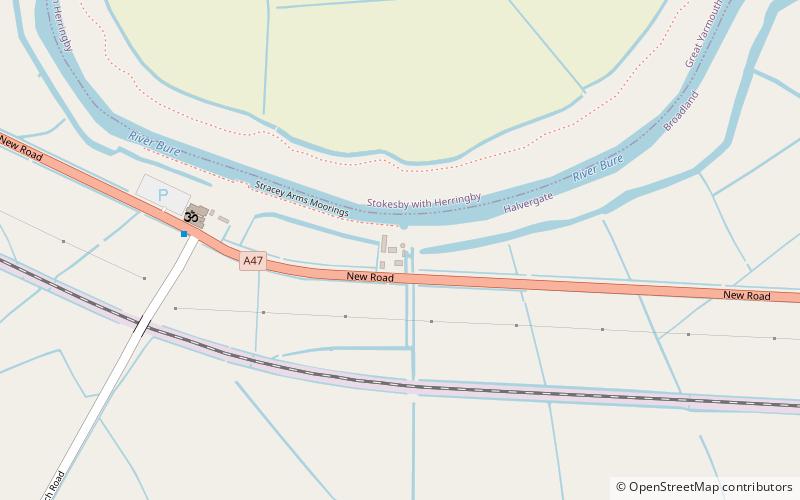
Map
Gallery
Facts and practical information
Stracey Arms Windpump is a windpump located at Tunstall in the civil parish of Halvergate, Norfolk, England. It is a grade II* listed building. ()
Coordinates: 52°37'25"N, 1°36'22"E
Address
Stracey armsNorfolk Broads
ContactAdd
Social media
Add
Day trips