Breydon Bridge, Norfolk Broads
Map

Gallery

Facts and practical information
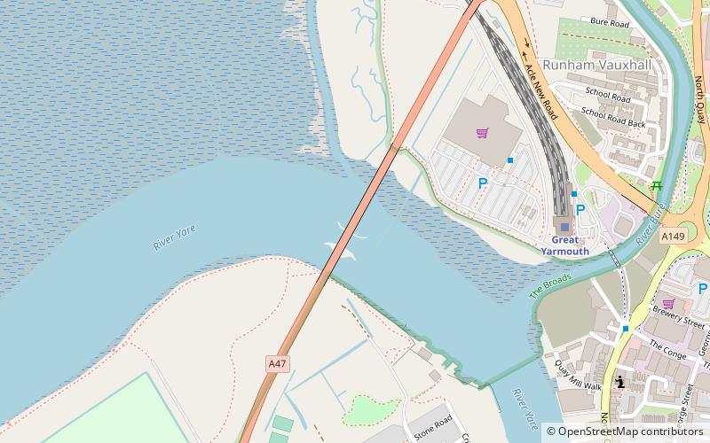
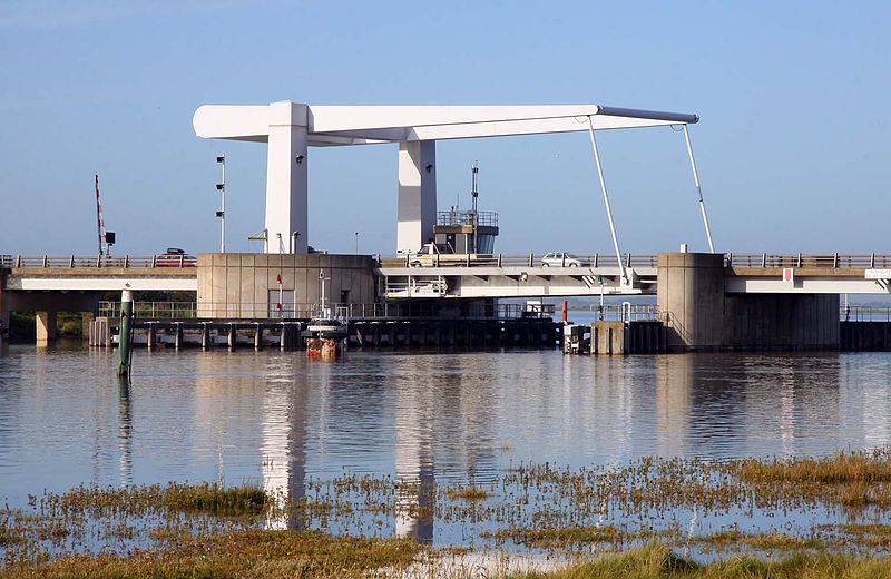
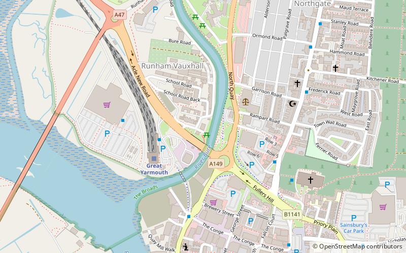
The Breydon Bridge is a road bridge carrying the A47 in Great Yarmouth across the River Yare close to Breydon Water. It replaces the former railway Breydon Viaduct which was closed in 1953 and demolished by 1963. ()
Opened: 1985 (41 years ago)Coordinates: 52°36'43"N, 1°42'56"E
Address
Norfolk Broads
ContactAdd
Social media
Add
Day trips
Breydon Bridge – popular in the area (distance from the attraction)
Nearby attractions include: Market Gates Shopping Centre, The Tolhouse, Great Yarmouth Row Houses, Hippodrome.
Frequently Asked Questions (FAQ)
Which popular attractions are close to Breydon Bridge?
Nearby attractions include Yarmouth suspension bridge, Great Yarmouth (8 min walk), Cobholm Island, Great Yarmouth (10 min walk), Great Yarmouth Minster, Great Yarmouth (13 min walk), Lydia Eva, Great Yarmouth (16 min walk).
How to get to Breydon Bridge by public transport?
The nearest stations to Breydon Bridge:
Train
Bus
Train
- Great Yarmouth (6 min walk)
Bus
- The Gallon Pot, adj • Lines: 8 (13 min walk)
- Market Gates, Stand A • Lines: 293, 580, 730, 73C, 81, Bus Route 6: Great Yarmouth - North Walsham (17 min walk)


