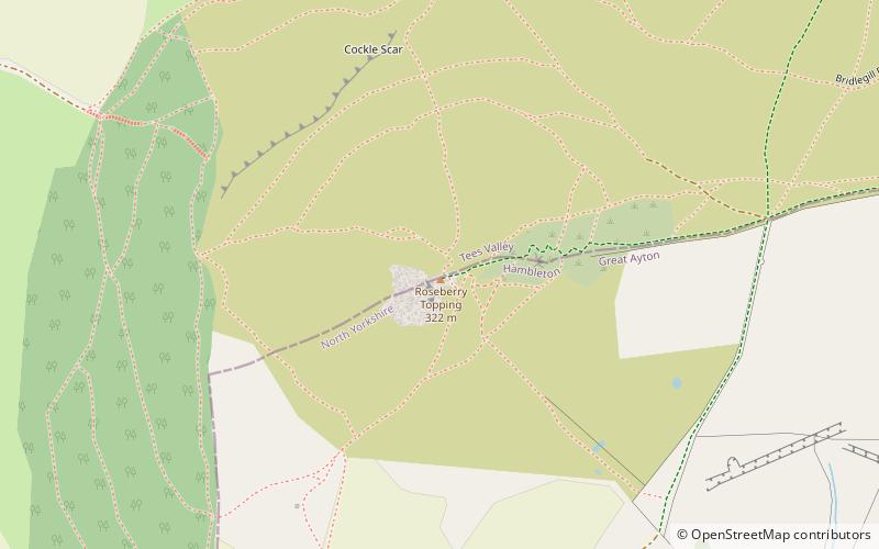
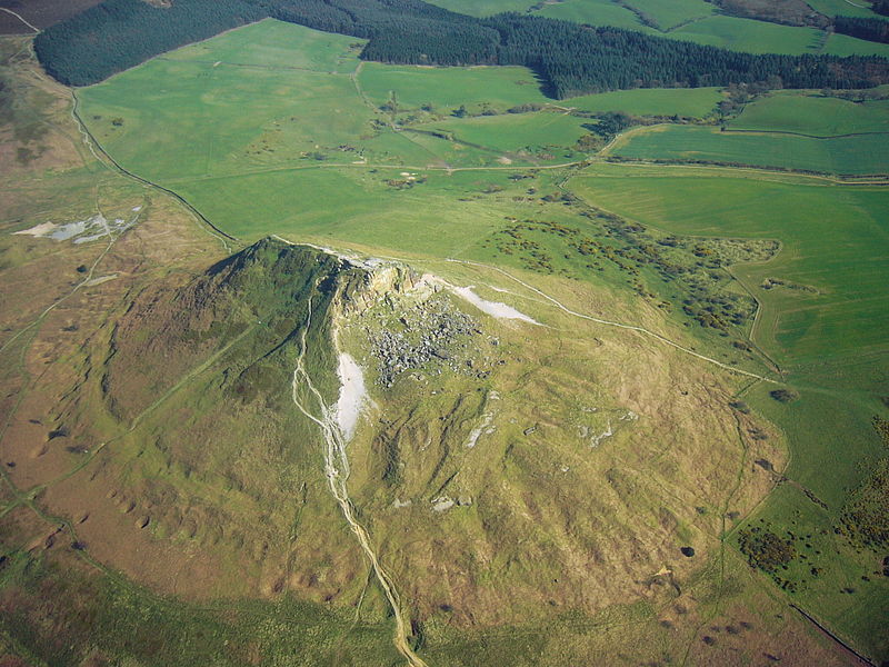
Roseberry Topping, North York Moors

Gallery (2)
Map
Map
Gallery
Facts and practical information
Roseberry Topping is a distinctive hill in North Yorkshire, England. It is situated near Great Ayton and Newton under Roseberry. Its summit has a distinctive half-cone shape with a jagged cliff, which has led to many comparisons with the much higher Matterhorn in the Swiss-Italian Alps. It forms a symbolic image of the area and features in the logo for the nearby Teesside International Airport. ()
Elevation: 1050 ftProminence: 266 ftCoordinates: 54°30'20"N, 1°6'26"W
Getting there by public transportation
Public transportation stops near this location
- Train
 Train
Train
- Calculate routeGreat Ayton 30 min walk
Day trips


Frequently Asked Questions (FAQ)
How to get to Roseberry Topping by public transport?
The nearest stations to Roseberry Topping:
Train
Train
- Great Ayton (30 min walk)