Rannerdale Knotts

Gallery (4)
Map

Map
Gallery
Facts and practical information
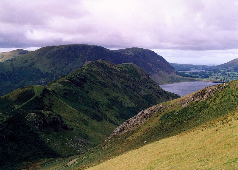
Rannerdale Knotts is a fell in the Lake District of Cumbria, England. Rising from the Buttermere valley, it is one of the smaller Cumbrian hills and is overlooked by a number of surrounding fells, such as Grasmoor, Whiteless Pike and, across Crummock Water, Mellbreak and the High Stile ridge. Rannerdale Knotts is said to be the site of a battle between the native Cumbrians and Norsemen and the invading Normans in the late 11th or early 12th century. ()
Elevation: 1165 ftProminence: 230 ftCoordinates: 54°33'9"N, 3°17'21"W
Location
England
ContactAdd
Social media
Add
Day trips


