Crummock Water
Map
Gallery

Facts and practical information
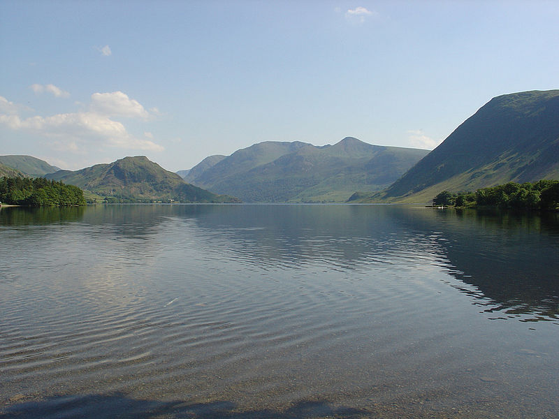
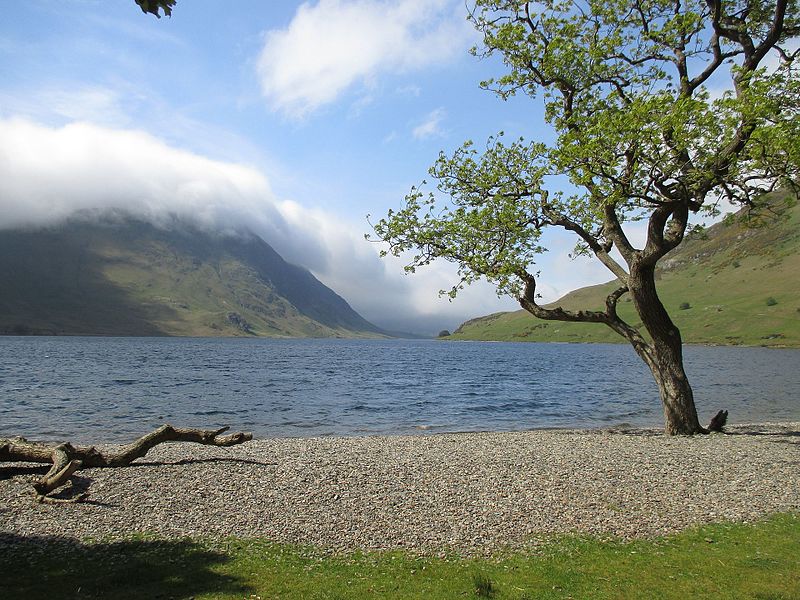
Crummock Water is a lake in the Lake District in Cumbria, North West England situated between Buttermere to the south and Loweswater to the north. Crummock Water is 2.5 miles long, 0.6 miles wide and 140 feet deep. The River Cocker is considered to start at the north of the lake, before then flowing into Lorton Vale. The hill of Mellbreak runs the full length of the lake on its western side; as Alfred Wainwright described it 'no pairing of hill and lake in Lakeland have a closer partnership than these'. ()
Alternative names: Length: 2.5 miWidth: 3168 ftElevation: 325 ft a.s.l.Coordinates: 54°33'30"N, 3°18'12"W
Location
England
ContactAdd
Social media
Add
Day trips
Crummock Water – popular in the area (distance from the attraction)
Nearby attractions include: Scale Force, Rannerdale Knotts, Grasmoor, Mellbreak.


