Burnmoor Tarn
Map

Map

Facts and practical information
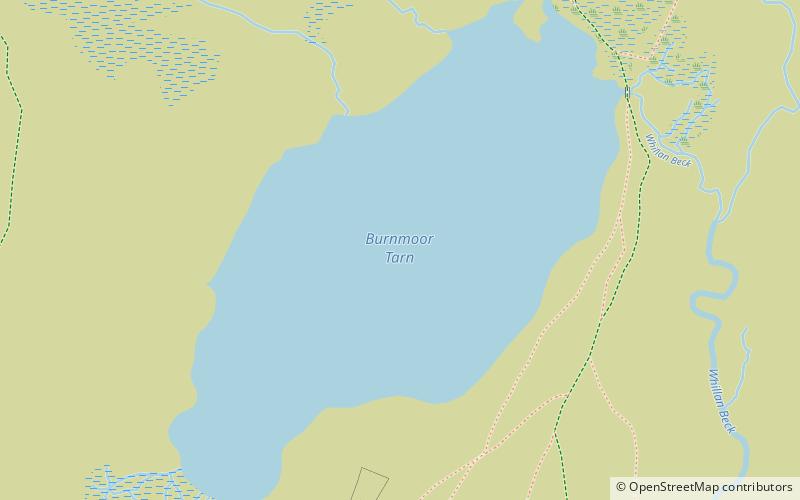
Burnmoor Tarn, on Eskdale Fell in Cumbria, England, is one of the largest entirely natural tarns in the Lake District. Its waters flow into Whillan Beck at the tarn's north-eastern corner, which immediately turns south and flows into Eskdale, joining the Esk at Beckfoot. Burnmoor Lodge, a former fishing lodge, stands by the southern shore and a mediaeval corpse road runs past the eastern shore where it fords the beck. Eskdale Moor or Boat How lies to the south of the tarn. ()
Maximum depth: 43 ftElevation: 833 ft a.s.l.Coordinates: 54°25'42"N, 3°15'34"W
Day trips
Burnmoor Tarn – popular in the area (distance from the attraction)
Nearby attractions include: Sca Fell, Scafell Pike, Wast Water, Hardknott Roman Fort.


