Illgill Head, Eskdale Green

Map
Facts and practical information
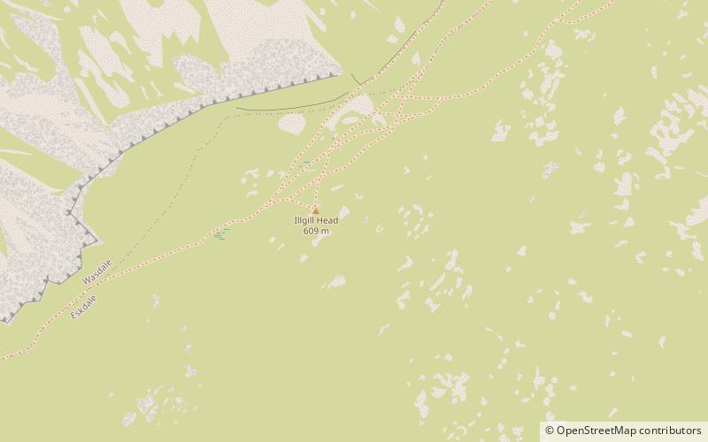
Illgill Head is a fell in the English Lake District. It is known more commonly as the northern portion of the Wastwater Screes. The fell is 609 metres high and stands along the south-east shore of Wastwater, the deepest lake in England. ()
Coordinates: 54°25'57"N, 3°16'56"W
Address
Eskdale Green
ContactAdd
Social media
Add
Day trips
Illgill Head – popular in the area (distance from the attraction)
Nearby attractions include: Wast Water, Burnmoor Tarn, Whin Rigg, Great How.


