Auchterhouse Hill
Map

Map

Facts and practical information
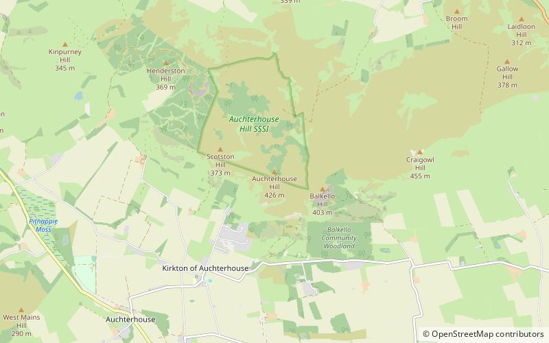
Auchterhouse Hill is the second highest hill of the Sidlaw range in South East Angus. At 424 metres, it is classified as a Tump with a relative height of 81 metres. Auchterhouse Hill is located near Auchterhouse and is higher than Balkello Hill and is smaller than nearby Craigowl Hill. There is an ancient hill fort on the summit. ()
Elevation: 1391 ftCoordinates: 56°32'42"N, 3°3'5"W
Location
Scotland
ContactAdd
Social media
Add
Day trips
Auchterhouse Hill – popular in the area (distance from the attraction)
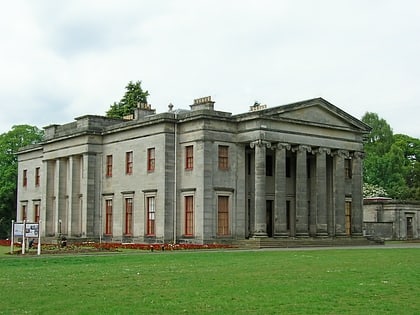
Nearby attractions include: Dundee Ice Arena, Camperdown Country Park, Angus Folk Museum, Fowlis Castle.


