White Park Bay
Map

Map

Facts and practical information
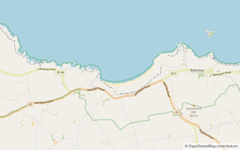
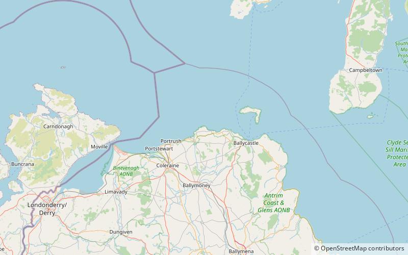
White Park Bay is a bay and three-mile long beach located near Ballycastle, County Antrim, on the north coast of Northern Ireland, along the Giant’s Causeway Coastal Route. Sheep and cattle graze the hills and beach along the bay, which has been under the care of the National Trust for Places of Historic Interest or Natural Beauty since 1938. It is situated in the townland of White Park. The bay is also home to the Whitepark Bay Youth Hostel. The beach is unsuitable for swimming due to rip currents. ()
Coordinates: 55°14'7"N, 6°24'13"W
Location
Northern Ireland
ContactAdd
Social media
Add
Day trips
White Park Bay – popular in the area (distance from the attraction)
Nearby attractions include: Ulster Way, Carrick-a-Rede Rope Bridge, Ballintoy, Kinbane Castle.


