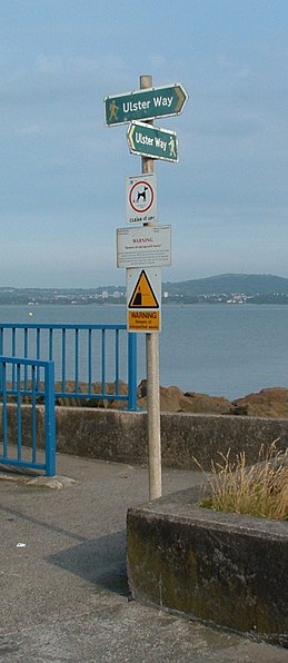
Ulster Way, Giant's Causeway
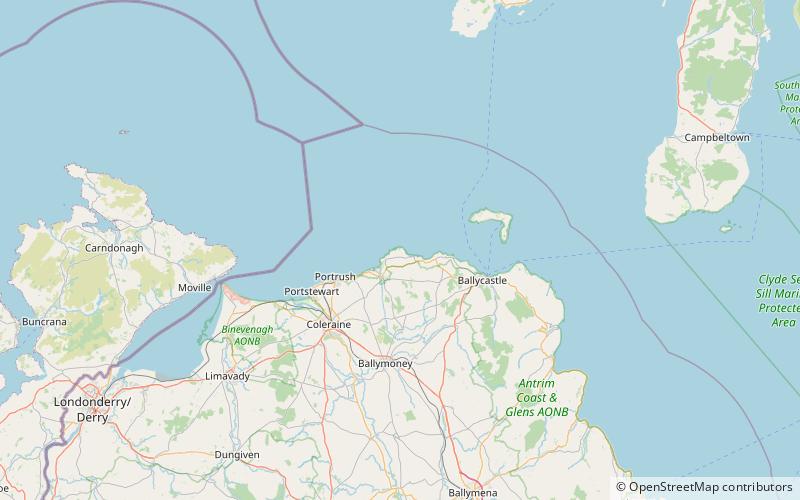
Map
Gallery
Facts and practical information
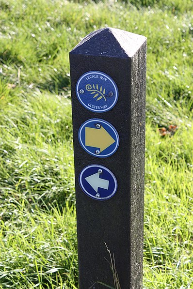
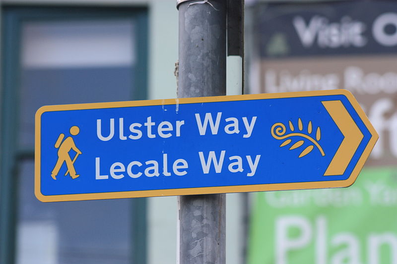
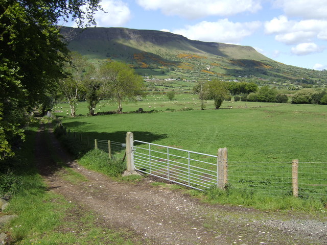
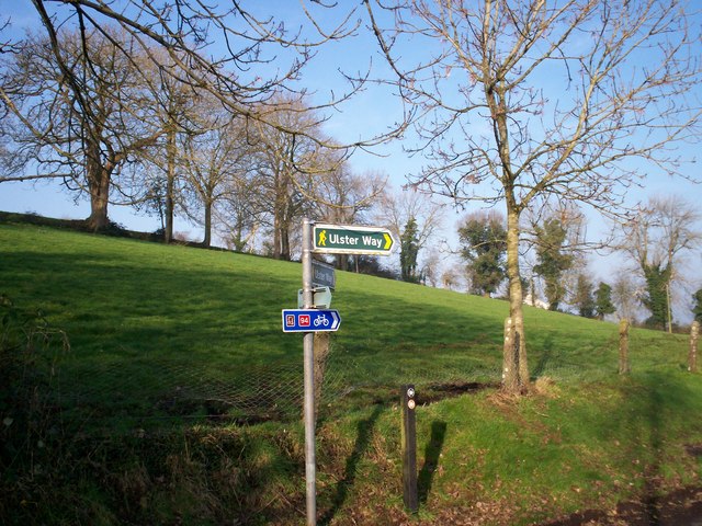
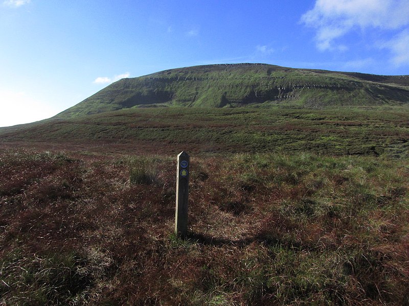
The Ulster Way is a series of walking routes which encircles Northern Ireland. It was founded in the 1970s by Wilfrid Merydith Capper, who was inspired by Tom Stephenson's Pennine Way. The route was relaunched in 2009 by the Department of the Environment. ()
Length: 625 miCoordinates: 55°15'0"N, 6°29'6"W
Day trips
Ulster Way – popular in the area (distance from the attraction)
Nearby attractions include: Dunluce Castle, Ballintoy, Portbraddon Cave, Dunseverick Castle.


