Gillway, Tamworth

Map
Facts and practical information
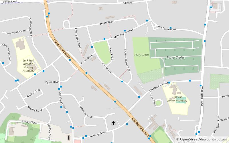
Gillway is a council estate in Tamworth, United Kingdom built in the 1950s. It is a small suburb consisting of brick and concrete houses and two storey flats. It has a local school called Flaxhill and a pub called the Tam 'o' Shanter. It also has shops opposite the pub, and is near the Leyfields and the Perrycrofts estates. ()
Coordinates: 52°38'49"N, 1°41'56"W
Address
Tamworth
ContactAdd
Social media
Add
Day trips
Gillway – popular in the area (distance from the attraction)
Nearby attractions include: Snowdome, Tamworth Castle, Tamworth Town Hall, Church of St Editha.
Frequently Asked Questions (FAQ)
How to get to Gillway by public transport?
The nearest stations to Gillway:
Train
Train
- Tamworth (21 min walk)


