South Inch, Perth
Map
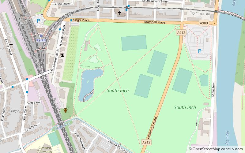
Map

Facts and practical information
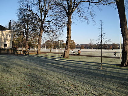
South Inch is a large public park in Perth, Scotland. About 31 hectares in size, it is one of two "Inches" in Perth, the other being the larger, 57-hectare North Inch, located half a mile across the city. The Inches were granted to the city, when it was a royal burgh, by King Robert II in 1374. Both Inches were once islands in the River Tay. The two Inches are connected by Tay Street. ()
Elevation: 20 ft a.s.l.Coordinates: 56°23'24"N, 3°25'58"W
Day trips
South Inch – popular in the area (distance from the attraction)
Nearby attractions include: Perth Leisure Pool, Perth Museum and Art Gallery, Perth Playhouse, Balhousie Castle.
Frequently Asked Questions (FAQ)
Which popular attractions are close to South Inch?
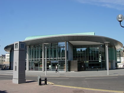
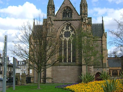
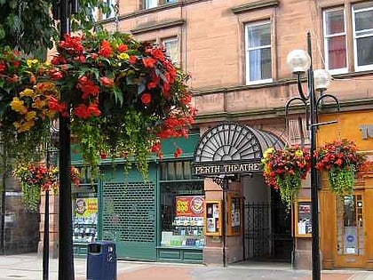
Nearby attractions include Fergusson Gallery, Perth (8 min walk), Perth Charterhouse, Perth (10 min walk), Perth Theatre, Perth (13 min walk), Perth Concert Hall, Perth (15 min walk).
How to get to South Inch by public transport?
The nearest stations to South Inch:
Bus
Train
Bus
- Kings Place • Lines: 13, 5 (6 min walk)
- St Leonards Bank • Lines: 13, 5, 6 (6 min walk)
Train
- Perth (7 min walk)


