Friarton Bridge, Perth
Map

Gallery

Facts and practical information
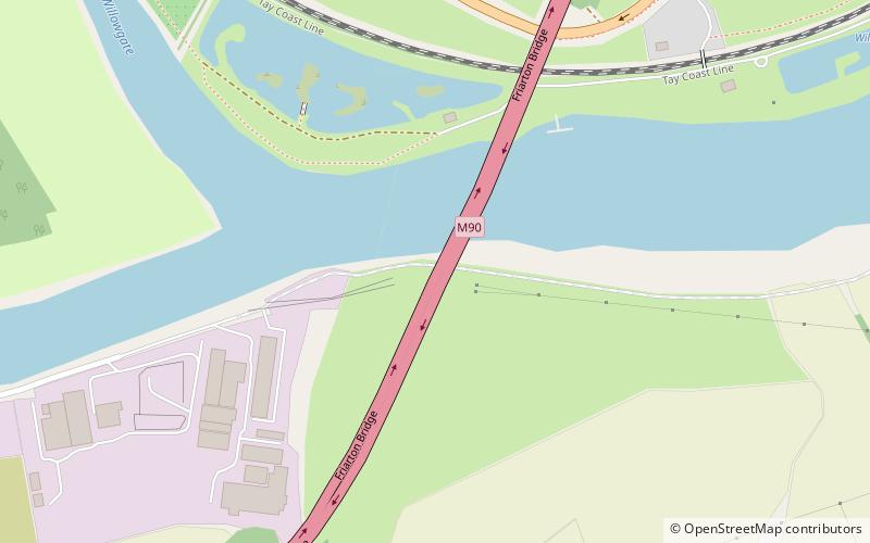
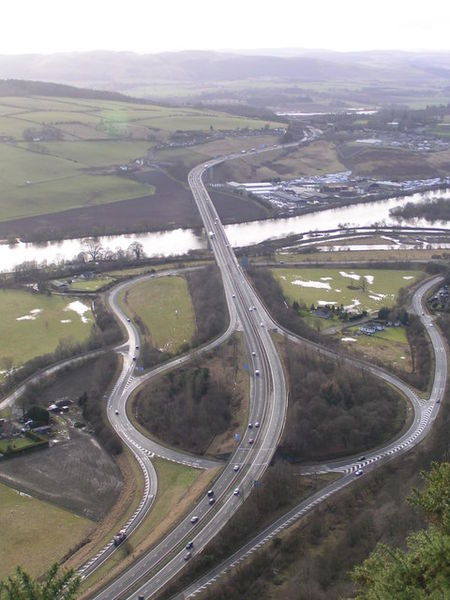
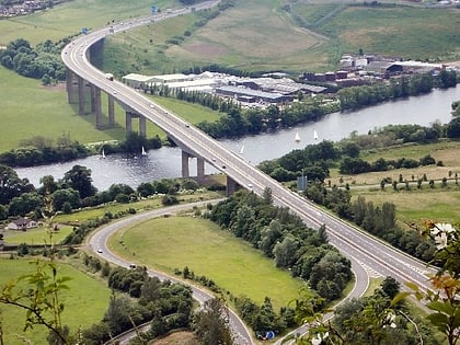
The Friarton Bridge is a steel box girder bridge with a concrete deck, across the River Tay on the southeastern outskirts of Perth, Scotland. It is located approximately 20 miles upstream of the Tay Road Bridge. ()
Opened: 1978 (48 years ago)Length: 2726 ftCoordinates: 56°22'42"N, 3°24'36"W
Address
Perth
ContactAdd
Social media
Add
Day trips
Friarton Bridge – popular in the area (distance from the attraction)
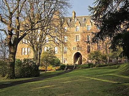
Nearby attractions include: Kinnoull Hill, South Inch, St Mary's Monastery, Kinfauns Castle.
Frequently Asked Questions (FAQ)
Which popular attractions are close to Friarton Bridge?
Nearby attractions include Moncreiffe Island, Perth (13 min walk), Kinnoull Hill, Perth (23 min walk).
How to get to Friarton Bridge by public transport?
The nearest stations to Friarton Bridge:
Bus
Train
Bus
- Willowgate Fishery • Lines: 16 (6 min walk)
- West Road End • Lines: 16 (10 min walk)
Train
- Perth (37 min walk)


