St Radegund's Priory, Cambridge
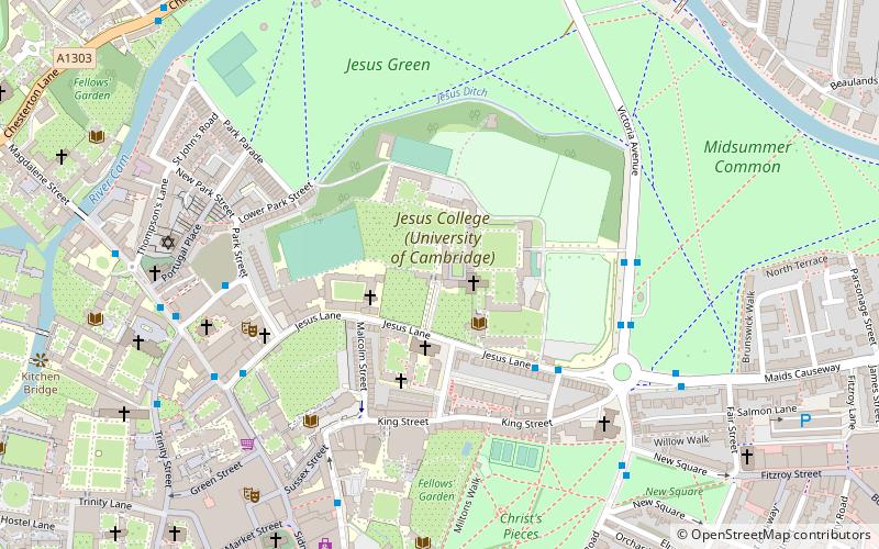
Map

Gallery

Facts and practical information
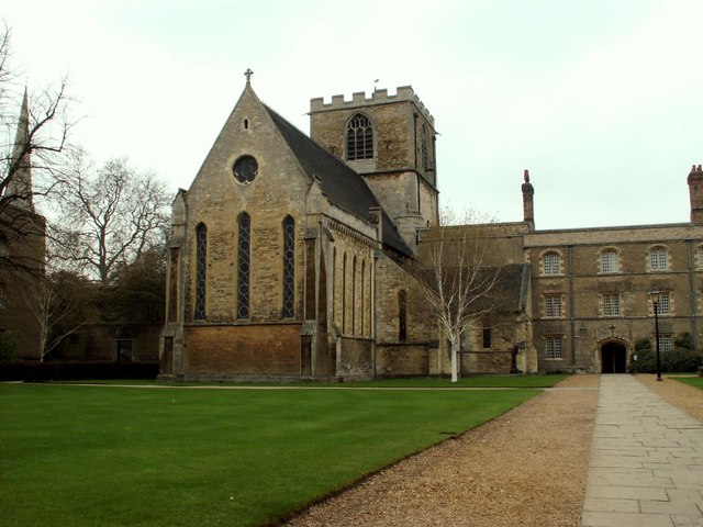
St Radegund's Priory, Cambridge was a Benedictine nunnery in Cambridge, Cambridgeshire, England. It was founded before 1144 and dissolved in 1496 by the initiative of John Alcock, Bishop of Ely. ()
Coordinates: 52°12'33"N, 0°7'25"E
Address
MarketCambridge
ContactAdd
Social media
Add
Day trips
St Radegund's Priory – popular in the area (distance from the attraction)
Nearby attractions include: Sidney Street, Green Street, Sussex Street, University Pitt Club.
Frequently Asked Questions (FAQ)
Which popular attractions are close to St Radegund's Priory?
Nearby attractions include All Saints' Church, Cambridge (2 min walk), The Woolf Institute, Cambridge (3 min walk), Jesus College, Cambridge (3 min walk), King Street, Cambridge (4 min walk).
How to get to St Radegund's Priory by public transport?
The nearest stations to St Radegund's Priory:
Bus
Train
Bus
- Belmont Place • Lines: 14, Citi 2, Citi 5, Citi 6 (4 min walk)
- Victoria Avenue • Lines: Citi 1 (5 min walk)
Train
- Cambridge (31 min walk)


