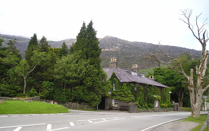
Pen-y-Gwryd, Snowdonia National Park
Map

Gallery

Facts and practical information
Pen-y-Gwryd is a pass at the head of Nantygwryd and Nant Cynnyd rivers close to the foot of Snowdon in Gwynedd, Wales. The area is located at the junction of the A4086 from Capel Curig to Llanberis and Caernarfon and the A498 from Beddgelert and Nant Gwynant about a mile from the head of the Llanberis Pass. It is close to the boundary with Conwy county borough in northern Snowdonia. The famous mountaineering hostelry, Pen-y-Gwryd Hotel, is located in the pass. It is also a mountain rescue post with links to the other rescue posts at Ogwen Cottage and Plas y Brenin. ()
Coordinates: 53°4'57"N, 4°0'7"W
Day trips
Pen-y-Gwryd – popular in the area (distance from the attraction)
Nearby attractions include: Plas y Brenin, Llyn Idwal, Tryfan, Llyn Llydaw.
Frequently Asked Questions (FAQ)
Which popular attractions are close to Pen-y-Gwryd?
Nearby attractions include Llyn Cwm-y-ffynnon, Snowdonia National Park (19 min walk), Pen-y-Pass, Snowdonia National Park (21 min walk).
How to get to Pen-y-Gwryd by public transport?
The nearest stations to Pen-y-Gwryd:
Bus
Bus
- Pen-y-Pass • Lines: S2 (21 min walk)


