Firth Park, Sheffield
Map

Gallery

Facts and practical information
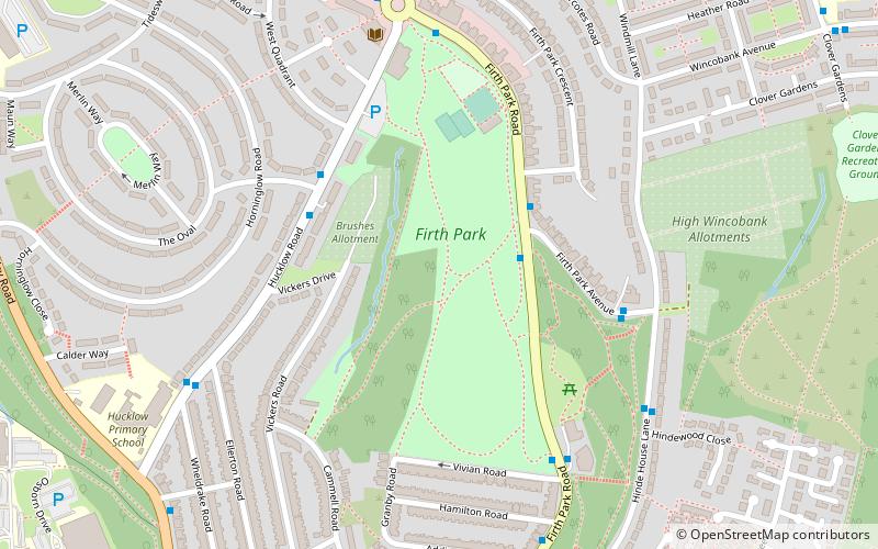
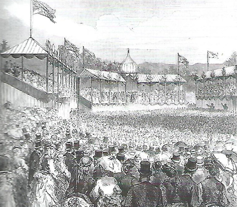
Firth Park is a public park in the Firth Park area of the City of Sheffield in England. It is located 3.75 km north-northeast of the city centre. The main entrance to the park is on Hucklow Road although there are several entrances on Firth Park Road to the east and one on Vivian Road to the south. Established in 1875, the park gave its name to the Sheffield suburb of Firth Park, a social housing estate constructed around the area of the park in the 1920s and 1930s. ()
Elevation: 322 ft a.s.l.Coordinates: 53°24'54"N, 1°26'50"W
Day trips
Firth Park – popular in the area (distance from the attraction)
Nearby attractions include: Sheffield Arena, IceSheffield, Sheffield Ski Village, English Institute of Sport.
Frequently Asked Questions (FAQ)
Which popular attractions are close to Firth Park?
Nearby attractions include Wincobank, Sheffield (15 min walk), Longley Park, Sheffield (18 min walk), St Thomas, Sheffield (22 min walk), Greentop Circus, Sheffield (22 min walk).
How to get to Firth Park by public transport?
The nearest stations to Firth Park:
Bus
Tram
Bus
- Firth Park Road/Firth Park Avenue • Lines: 5, 75, 76 (2 min walk)
- Hucklow Road/Eyncourt Road • Lines: 1, 11, 11A, 88 (4 min walk)
Tram
- Arena / Olympic Legacy Park • Lines: Tt, Yell (41 min walk)


