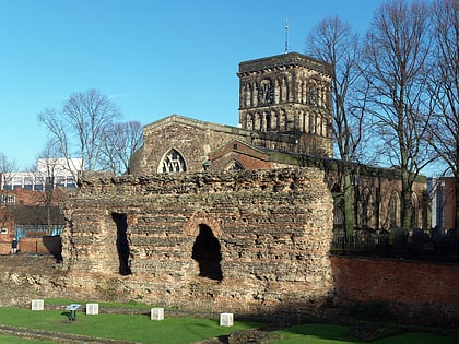
Blackfriars, Leicester
Map
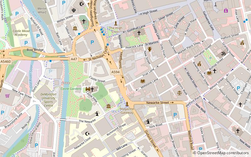
Map

Facts and practical information
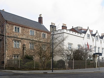
Blackfriars Leicester is a former Dominican Friary in Leicester, England. ()
Established: 1284 (742 years ago)Coordinates: 52°37'58"N, 1°8'17"W
Address
Leicester South (Castle)Leicester
ContactAdd
Social media
Add
Day trips
Blackfriars – popular in the area (distance from the attraction)
Nearby attractions include: Haymarket Shopping Centre, Highcross Leicester, Leicester Market, Silver Arcade.
Frequently Asked Questions (FAQ)
Which popular attractions are close to Blackfriars?
Nearby attractions include All Saints Church, Leicester (1 min walk), Church of St Mary de Castro, Leicester (1 min walk), St Nicholas Church, Leicester (1 min walk), Leicester Castle, Leicester (1 min walk).
How to get to Blackfriars by public transport?
The nearest stations to Blackfriars:
Bus
Train
Bus
- St Nicholas Circle • Lines: 103, 104 (6 min walk)
- Haymarket Bus Station (12 min walk)
Train
- Leicester (16 min walk)


