Whitecross Street, Monmouth
Map
Gallery
Facts and practical information
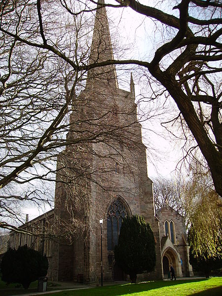
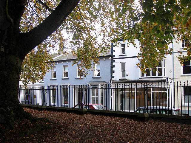
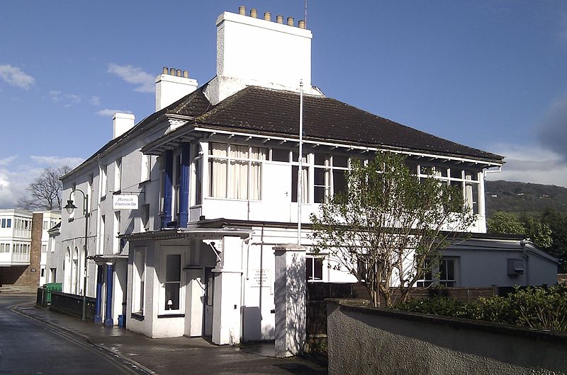
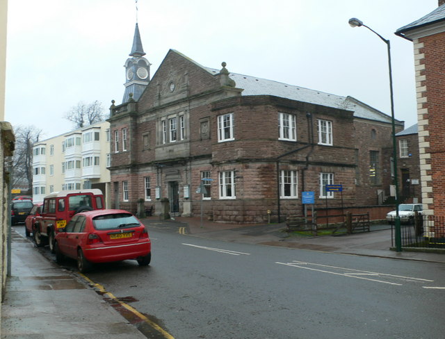
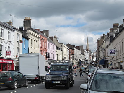
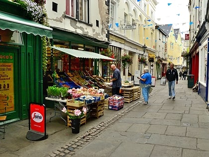
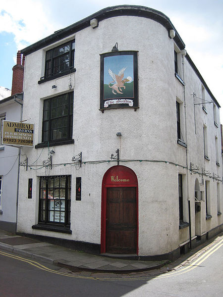
Whitecross Street is a historic street in the town centre of Monmouth, Monmouthshire, Wales. It was in existence by the 15th century, and appears as Whit crose on the 1610 map of the town by cartographer John Speed. It runs in an east-west direction, between Church Street and St James Square. It has been suggested that the street takes its name from a plague cross. Whitecross Street is lined with numerous listed buildings. ()
Coordinates: 51°48'47"N, 2°42'48"W
Day trips
Whitecross Street – popular in the area (distance from the attraction)
Nearby attractions include: Monnow Street, Church Street, Monmouth Museum, Savoy Theatre.
Frequently Asked Questions (FAQ)
Which popular attractions are close to Whitecross Street?
Nearby attractions include St Mary's Priory Church, Monmouth (1 min walk), Wye Bridge Ward, Monmouth (2 min walk), Monk Street, Monmouth (2 min walk), Savoy Theatre, Monmouth (2 min walk).
How to get to Whitecross Street by public transport?
The nearest stations to Whitecross Street:
Bus
Bus
- Monmouth Bus Station (9 min walk)


