Keel Square, Sunderland
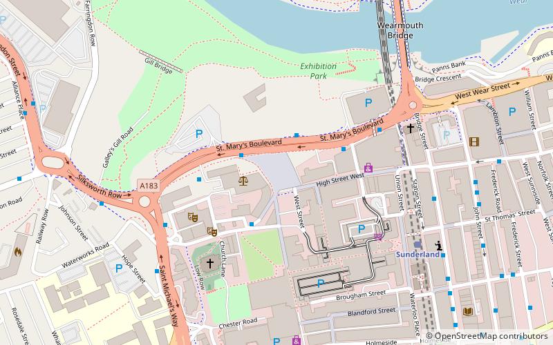
Map

Gallery

Facts and practical information
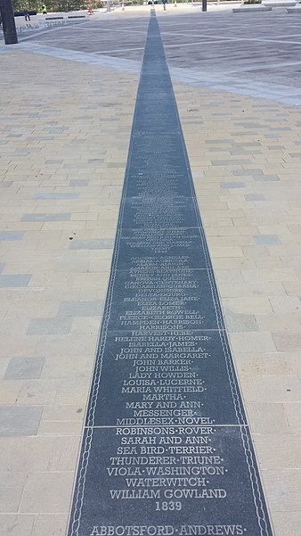
Keel Square is a public space and boulevard based in Sunderland, Tyne & Wear, completed in 2015. Located to the north of the City Centre opposite the Vaux Site, the square was constructed as part of the larger St. Mary's Way redevelopment. The total cost of the project amounts to £11.8 million. A celebration of Sunderland's maritime and industrial heritage, the square's name was decided by the city's residents. ()
Completed: 2015 (11 years ago)Coordinates: 54°54'27"N, 1°23'13"W
Day trips
Keel Square – popular in the area (distance from the attraction)
Nearby attractions include: Stadium of Light, Sunderland Aquatic Centre, The Bridges, Mowbray Park.
Frequently Asked Questions (FAQ)
Which popular attractions are close to Keel Square?
Nearby attractions include Sunderland Empire Theatre, Sunderland (3 min walk), Sunderland Minster, Sunderland (4 min walk), St Mary's Church, Sunderland (5 min walk), Elephant Tea Rooms, Sunderland (5 min walk).
How to get to Keel Square by public transport?
The nearest stations to Keel Square:
Bus
Light rail
Bus
- St Mary's Way • Lines: 135 (4 min walk)
- Sunderland Interchange Stand R • Lines: Sns (9 min walk)
Light rail
- Sunderland • Lines: Green (6 min walk)
- St Peter's • Lines: Green (8 min walk)


