Wearmouth Bridge, Sunderland
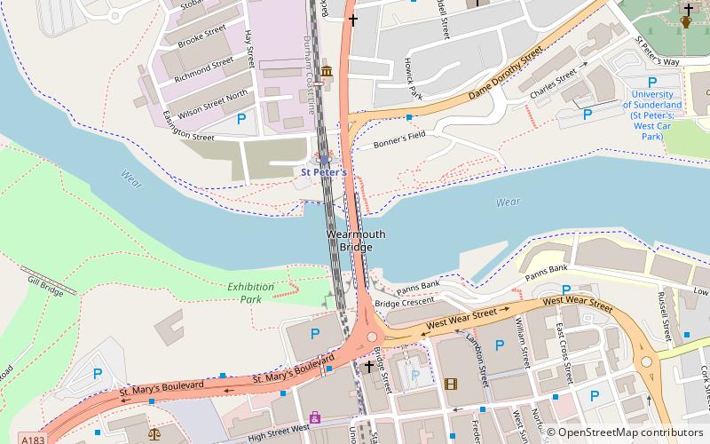
Map

Gallery

Facts and practical information
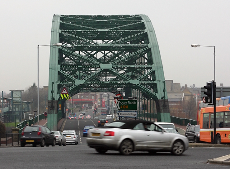
Wearmouth Bridge is a through arch bridge across the River Wear in Sunderland. It is the final bridge over the river before its mouth with the North Sea. ()
Alternative names: Completed: 1929 (97 years ago)Length: 375 ftWidth: 48 ftCoordinates: 54°54'37"N, 1°22'59"W
Address
Sunderland
ContactAdd
Social media
Add
Day trips
Wearmouth Bridge – popular in the area (distance from the attraction)
Nearby attractions include: Stadium of Light, Sunderland Aquatic Centre, The Bridges, Mowbray Park.
Frequently Asked Questions (FAQ)
Which popular attractions are close to Wearmouth Bridge?
Nearby attractions include Monkwearmouth Railway Bridge, Sunderland (1 min walk), Northern Gallery for Contemporary Art, Sunderland (2 min walk), St Mary's Church, Sunderland (4 min walk), Elephant Tea Rooms, Sunderland (6 min walk).
How to get to Wearmouth Bridge by public transport?
The nearest stations to Wearmouth Bridge:
Light rail
Bus
Light rail
- St Peter's • Lines: Green (2 min walk)
- Sunderland • Lines: Green (8 min walk)
Bus
- St Mary's Way • Lines: 135 (4 min walk)
- Sunderland Interchange Stand R • Lines: Sns (14 min walk)


