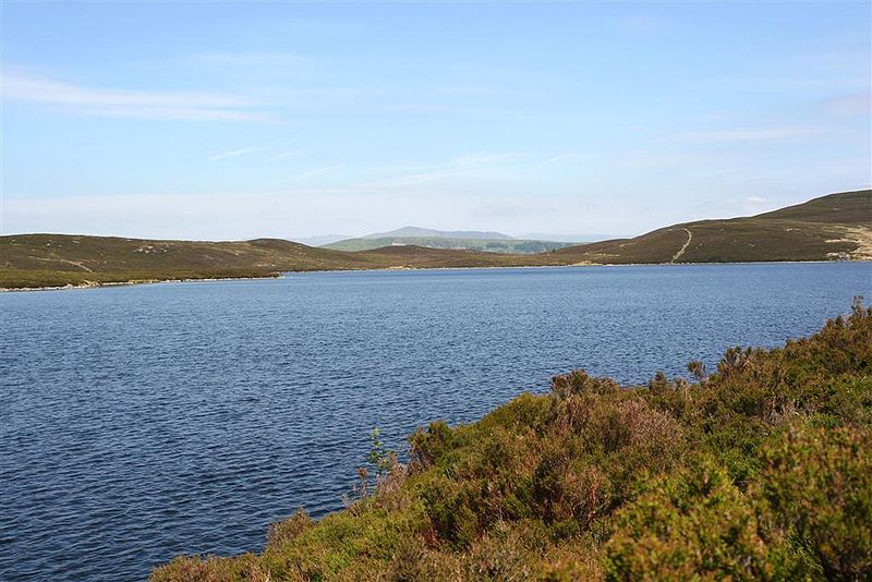
Llyn Conwy, Snowdonia National Park
Map

Gallery

Facts and practical information
Llyn Conwy is a lake in the county of Conwy in central north Wales. It is the source of the River Conwy which, on flowing south out of the lake, swings round to then generally flow in a northerly direction for a distance of some 27 miles to its discharge in Conwy Bay. Llyn Conwy lies at a height of about 1,488 ft, with a maximum depth of 16 feet, and is by far the biggest lake of the Migneint moors, an extensive area of blanket mire with high rainfall - about 260 cm p.a. There is a view of Arenig Fawr. ()
Maximum depth: 16 ftElevation: 1483 ft a.s.l.Coordinates: 52°59'57"N, 3°49'9"W
Address
Snowdonia National Park
ContactAdd
Social media
Add
Day trips
Llyn Conwy – popular in the area (distance from the attraction)
Nearby attractions include: Llechwedd Slate Caverns, Conwy Falls, Moel Siabod, Tŷ Mawr Wybrnant.
Frequently Asked Questions (FAQ)
How to get to Llyn Conwy by public transport?
The nearest stations to Llyn Conwy:
Bus
Bus
- Carrog • Lines: 19 (33 min walk)


