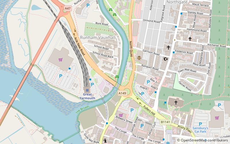
Yarmouth suspension bridge, Great Yarmouth

Map
Facts and practical information
Yarmouth suspension bridge spanned the River Bure at Great Yarmouth, Norfolk from 1829 until its collapse in 1845. The bridge was widened in 1832, which had not been anticipated by the original design. On 2 May 1845 the bridge collapsed under load from a crowd who had gathered to watch a circus stunt on the river. Some 79 people, mainly children, were killed. An investigation found fault with the design and workmanship of the bridge. The site of the disaster is marked by a modern-day memorial. ()
Coordinates: 52°36'46"N, 1°43'22"E
Address
Great Yarmouth
ContactAdd
Social media
Add
Day trips
Yarmouth suspension bridge – popular in the area (distance from the attraction)
Nearby attractions include: Joyland, Market Gates Shopping Centre, The Tolhouse, Great Yarmouth Row Houses.
Frequently Asked Questions (FAQ)
Which popular attractions are close to Yarmouth suspension bridge?
Nearby attractions include Great Yarmouth Minster, Great Yarmouth (6 min walk), Breydon Bridge, Norfolk Broads (8 min walk), Cobholm Island, Great Yarmouth (11 min walk), Great Yarmouth Town Hall, Great Yarmouth (13 min walk).
How to get to Yarmouth suspension bridge by public transport?
The nearest stations to Yarmouth suspension bridge:
Train
Bus
Train
- Great Yarmouth (3 min walk)
Bus
- The Gallon Pot, adj • Lines: 8 (7 min walk)
- Market Gates, Stand F • Lines: 2, 308 (12 min walk)


