Governor's Bridge, Onchan

Gallery (1)
Map
Map
Facts and practical information
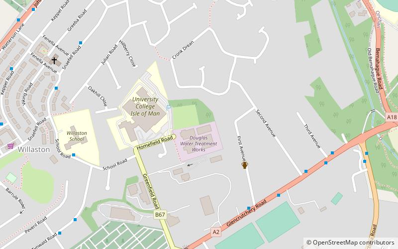
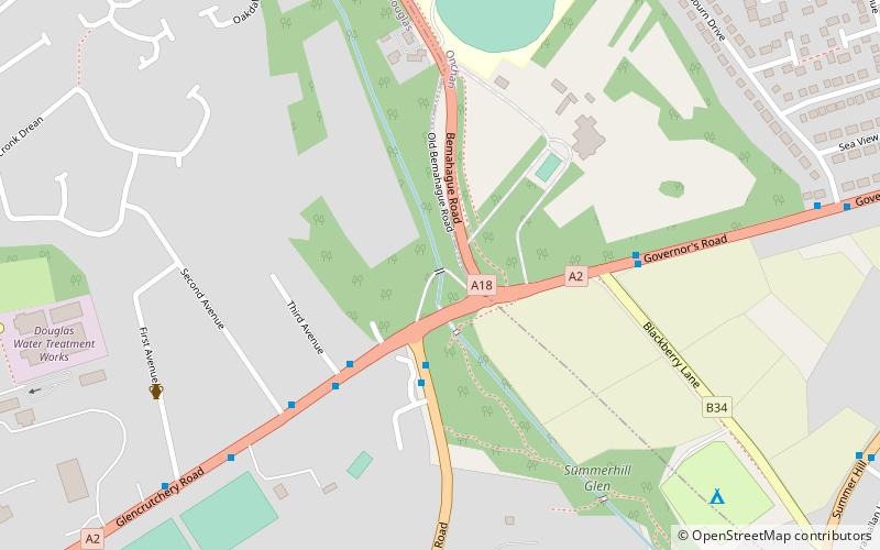
Governor's Bridge is a hairpin bend adjacent to a road junction on the primary A18 Mountain Road in the parish of Onchan in the Isle of Man, with a sudden drop in elevation leading to Governor's Dip, followed by a left-hand bend and finally a right exiting on to the main Glencrutchery Road. ()
Coordinates: 54°10'19"N, 4°28'7"W
Address
Onchan
ContactAdd
Social media
Add
Day trips