All Saints Church, Douglas

Gallery (5)
Map

Map

Gallery
Facts and practical information
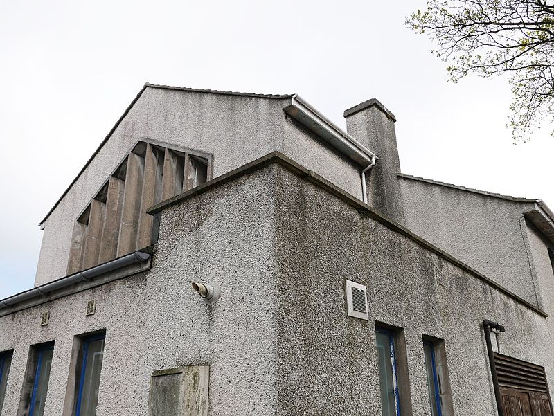
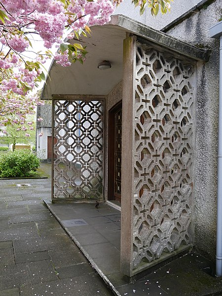
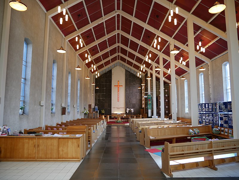
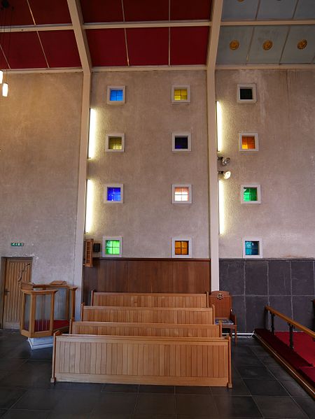
All Saints Church, Douglas, Isle of Man, is a 1967 Modernist Anglican church which closed in May 2017. ()
Coordinates: 54°9'21"N, 4°29'23"W
Getting there by public transportation
Public transportation stops near this location
- Bus
- Tram
- Light rail
- Train
 Bus
Bus
- Calculate routeGaiety Theathre 13 min walk
- Calculate routeThe Sefton Hotel 13 min walk
- Calculate routeGranville Street 14 min walk
- Calculate routeLoch Promenade 15 min walk
- Calculate routeDouglas Railway Station 15 min walk
- Calculate routeDerby Castle Terminus 36 min walk
- Calculate routeLoch Promenade 16 min walk
- Calculate routeVictoria Street 17 min walk
- Calculate routeNational Sports Centre Layby 18 min walk
- Calculate routeGroves Road / National Sports Centre 18 min walk
- Calculate routeDerby Castle M.E.R. Station 36 min walk
Day trips


Frequently Asked Questions (FAQ)
Which popular attractions are close to All Saints Church?
Nearby attractions include Hilary's Creations, Douglas (6 min walk), Manx Museum, Douglas (9 min walk), Mobile Family Library, Douglas (10 min walk), Gaiety Theatre, Douglas (12 min walk).
How to get to All Saints Church by public transport?
The nearest stations to All Saints Church:
Tram
Train
Bus
Light rail
Tram
- Gaiety Theathre • Lines: Douglas Horse Tramway (13 min walk)
- The Sefton Hotel • Lines: Douglas Horse Tramway (13 min walk)
Train
- Douglas Railway Station (15 min walk)
- Derby Castle Terminus (36 min walk)
Bus
- Loch Promenade • Lines: 1 (16 min walk)
- Victoria Street • Lines: 1 (17 min walk)
Light rail
- Derby Castle M.E.R. Station • Lines: Manx Electric Railway (36 min walk)